Distance to Clay City, Indiana

Calculating Your Route
Just a moment while we process your request...
Location Information
-
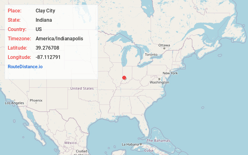
Full AddressClay City, IN 47841
-
Coordinates39.2767083, -87.1127908
-
LocationClay City , Indiana , US
-
TimezoneAmerica/Indianapolis
-
Website
-
Page Views0
About Clay City
Clay City is a town in Harrison Township, Clay County, Indiana, United States. The population was 861 at the 2010 census. It is part of the Terre Haute Metropolitan Statistical Area.


Nearby Places
Found 10 places within 50 miles

Jasonville
9.1 mi
14.6 km
Jasonville, IN 47438
Get directions

Worthington
12.7 mi
20.4 km
Worthington, IN 47471
Get directions

Farmersburg
14.4 mi
23.2 km
Farmersburg, IN 47850
Get directions
Shelburn
16.5 mi
26.6 km
Shelburn, IN 47879
Get directions

Linton
17.0 mi
27.4 km
Linton, IN 47441
Get directions

Brazil
17.1 mi
27.5 km
Brazil, IN 47834
Get directions

Spencer
18.7 mi
30.1 km
Spencer, IN 47460
Get directions
Bloomfield
19.6 mi
31.5 km
Bloomfield, IN 47424
Get directions

Sullivan
20.1 mi
32.3 km
Sullivan, IN 47882
Get directions

Terre Haute
20.7 mi
33.3 km
Terre Haute, IN
Get directions
Location Links
Local Weather
Weather Information
Coming soon!
Location Map
Static map view of Clay City, Indiana
Browse Places by Distance
Places within specific distances from Clay City
Short Distances
Long Distances
Click any distance to see all places within that range from Clay City. Distances shown in miles (1 mile ≈ 1.61 kilometers).