Distance to Clay Mills, Iowa

Calculating Your Route
Just a moment while we process your request...
Location Information
-
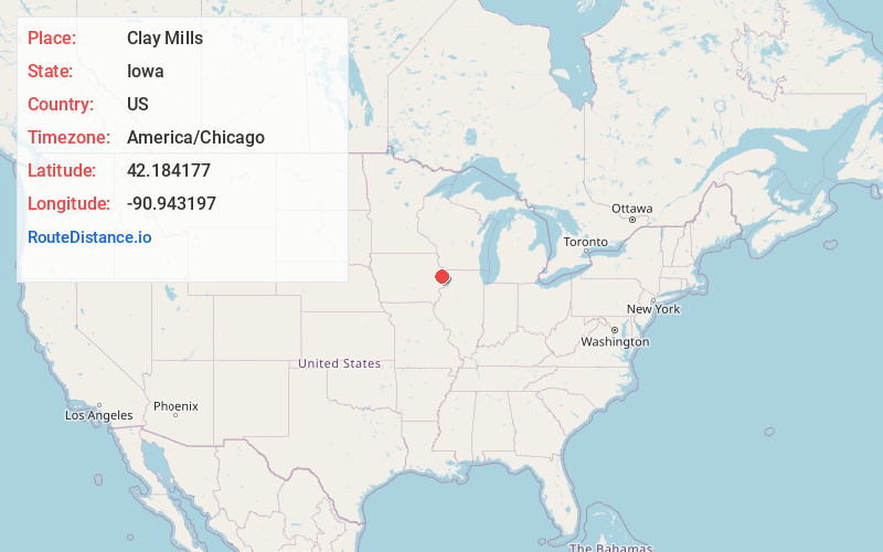
Full AddressClay Mills, IA 52033
-
Coordinates42.1841771, -90.9431968
-
LocationIowa , US
-
TimezoneAmerica/Chicago
-
Current Local Time1:57:14 PM America/ChicagoWednesday, May 28, 2025
-
Page Views0
Nearby Places
Found 10 places within 50 miles

Canton
2.8 mi
4.5 km
Canton, IA 52309
Get directions
Mcgargels Ford
3.6 mi
5.8 km
Mcgargels Ford, IA 52033
Get directions
Emeline
6.1 mi
9.8 km
Emeline, IA 52207
Get directions
Onslow
6.5 mi
10.5 km
Onslow, IA 52321
Get directions
Dales Ford
6.7 mi
10.8 km
Dales Ford, IA 52033
Get directions
Crab Town
7.1 mi
11.4 km
Crab Town, IA 52207
Get directions
Monmouth
8.1 mi
13.0 km
Monmouth, IA 52309
Get directions
Springhole
8.3 mi
13.4 km
Springhole, IA 52310
Get directions

Cascade
8.7 mi
14.0 km
Cascade, IA 52033
Get directions
Center Junction
8.7 mi
14.0 km
Center Junction, IA 52212
Get directions
Location Links
Local Weather
Weather Information
Coming soon!
Location Map
Static map view of Clay Mills, Iowa
Browse Places by Distance
Places within specific distances from Clay Mills
Short Distances
Long Distances
Click any distance to see all places within that range from Clay Mills. Distances shown in miles (1 mile ≈ 1.61 kilometers).