Distance to Clay, California

Calculating Your Route
Just a moment while we process your request...
Location Information
-
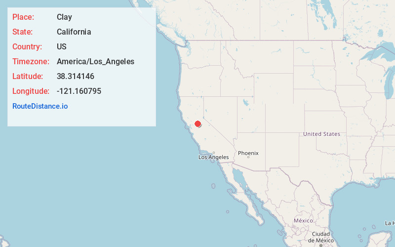
Full AddressClay, CA 95638
-
Coordinates38.314146, -121.1607949
-
LocationClay , California , US
-
TimezoneAmerica/Los_Angeles
-
Current Local Time9:06:04 AM America/Los_AngelesThursday, June 19, 2025
-
Page Views0
About Clay
Clay is a census-designated place in Sacramento County, California. Clay sits at an elevation of 135 feet. The 2010 United States census reported Clay's population was 1,195.
Nearby Places
Found 10 places within 50 miles

Galt
8.6 mi
13.8 km
Galt, CA 95632
Get directions

Collierville
9.0 mi
14.5 km
Collierville, CA
Get directions

Wilton
9.1 mi
14.6 km
Wilton, CA
Get directions

Lockeford
10.4 mi
16.7 km
Lockeford, CA
Get directions

Camanche Village
10.7 mi
17.2 km
Camanche Village, CA 95640
Get directions

Camanche North Shore
12.4 mi
20.0 km
Camanche North Shore, CA 95640
Get directions

Ione
12.6 mi
20.3 km
Ione, CA
Get directions

Woodbridge
13.4 mi
21.6 km
Woodbridge, CA 95258
Get directions

Rancho Murieta
13.5 mi
21.7 km
Rancho Murieta, CA 95683
Get directions

Elk Grove
13.5 mi
21.7 km
Elk Grove, CA
Get directions
Location Links
Local Weather
Weather Information
Coming soon!
Location Map
Static map view of Clay, California
Browse Places by Distance
Places within specific distances from Clay
Short Distances
Long Distances
Click any distance to see all places within that range from Clay. Distances shown in miles (1 mile ≈ 1.61 kilometers).