Distance to Clay Spur, Wyoming

Calculating Your Route
Just a moment while we process your request...
Location Information
-
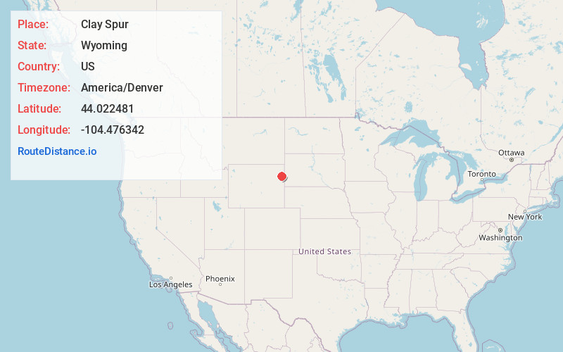
Full AddressClay Spur, WY 82723
-
Coordinates44.0224809, -104.4763416
-
LocationClay Spur , Wyoming , US
-
TimezoneAmerica/Denver
-
Current Local Time10:23:31 AM America/DenverFriday, June 6, 2025
-
Page Views0
Nearby Places
Found 10 places within 50 miles

Osage
4.0 mi
6.4 km
Osage, WY 82723
Get directions

Upton
9.2 mi
14.8 km
Upton, WY 82730
Get directions
Bentley
12.1 mi
19.5 km
Bentley, WY 82730
Get directions

Newcastle
17.8 mi
28.6 km
Newcastle, WY 82701
Get directions
Hill View Heights
20.8 mi
33.5 km
Hill View Heights, WY 82701
Get directions
Buckhorn
20.8 mi
33.5 km
Buckhorn, WY 82715
Get directions

Sundance
27.0 mi
43.5 km
Sundance, WY 82729
Get directions

Pine Haven
28.5 mi
45.9 km
Pine Haven, WY 82721
Get directions

Moorcroft
28.8 mi
46.3 km
Moorcroft, WY 82721
Get directions
Deerfield
31.9 mi
51.3 km
Deerfield, West Pennington, SD 57745
Get directions
Location Links
Local Weather
Weather Information
Coming soon!
Location Map
Static map view of Clay Spur, Wyoming
Browse Places by Distance
Places within specific distances from Clay Spur
Short Distances
Long Distances
Click any distance to see all places within that range from Clay Spur. Distances shown in miles (1 mile ≈ 1.61 kilometers).