Distance to Clay, Missouri

Calculating Your Route
Just a moment while we process your request...
Location Information
-
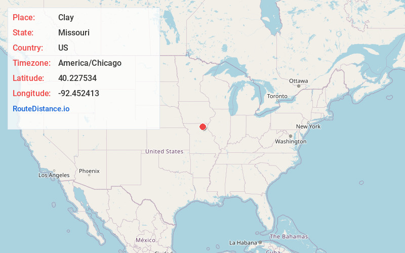
Full AddressClay, MO 63501
-
Coordinates40.2275342, -92.4524133
-
LocationClay , Missouri , US
-
TimezoneAmerica/Chicago
-
Current Local Time10:39:39 PM America/ChicagoSaturday, May 31, 2025
-
Page Views0
About Clay
Clay is an unincorporated community in Adair County, in the U.S. state of Missouri.
Nearby Places
Found 10 places within 50 miles

Brashear
6.7 mi
10.8 km
Brashear, MO 63533
Get directions

Kirksville
7.3 mi
11.7 km
Kirksville, MO 63501
Get directions
Sublette
8.1 mi
13.0 km
Sublette, MO 63546
Get directions
Kenwood
9.0 mi
14.5 km
Kenwood, MO 63547
Get directions

Gibbs
9.2 mi
14.8 km
Gibbs, MO 63540
Get directions
Hurdland
9.6 mi
15.4 km
Hurdland, MO 63547
Get directions
Millard
9.7 mi
15.6 km
Millard, MO 63501
Get directions

Greentop
10.3 mi
16.6 km
Greentop, MO 63546
Get directions
Fegley
11.1 mi
17.9 km
Fegley, MO 63501
Get directions
Bible Grove
11.7 mi
18.8 km
Bible Grove, MO 63546
Get directions
Location Links
Local Weather
Weather Information
Coming soon!
Location Map
Static map view of Clay, Missouri
Browse Places by Distance
Places within specific distances from Clay
Short Distances
Long Distances
Click any distance to see all places within that range from Clay. Distances shown in miles (1 mile ≈ 1.61 kilometers).