Distance to Claysburg, Pennsylvania

Calculating Your Route
Just a moment while we process your request...
Location Information
-
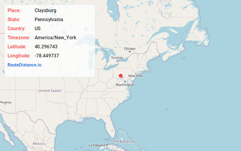
Full AddressClaysburg, PA 16625
-
Coordinates40.2967427, -78.449737
-
LocationClaysburg , Pennsylvania , US
-
TimezoneAmerica/New_York
-
Current Local Time3:35:11 PM America/New_YorkWednesday, July 2, 2025
-
Website
-
Page Views0
About Claysburg
Claysburg is a census-designated place along Interstate 99 and the Allegheny Front in Blair County, Pennsylvania, United States, situated near the base of Blue Knob. As of the 2020 census, it had a population of 1,291.
Nearby Places
Found 10 places within 50 miles

Roaring Spring
4.1 mi
6.6 km
Roaring Spring, PA 16673
Get directions

Woodbury
6.5 mi
10.5 km
Woodbury, PA 16695
Get directions

Martinsburg
6.7 mi
10.8 km
Martinsburg, PA 16662
Get directions
North Woodbury Township
7.7 mi
12.4 km
North Woodbury Township, PA 16662
Get directions

King Township
7.8 mi
12.6 km
King Township, PA
Get directions

Duncansville
8.8 mi
14.2 km
Duncansville, PA 16635
Get directions

Hollidaysburg
9.6 mi
15.4 km
Hollidaysburg, PA
Get directions
South Woodbury Township
10.2 mi
16.4 km
South Woodbury Township, PA
Get directions

East St Clair Township
12.3 mi
19.8 km
East St Clair Township, PA
Get directions
Lakemont
12.6 mi
20.3 km
Lakemont, Logan Township, PA 16602
Get directions
Location Links
Local Weather
Weather Information
Coming soon!
Location Map
Static map view of Claysburg, Pennsylvania
Browse Places by Distance
Places within specific distances from Claysburg
Short Distances
Long Distances
Click any distance to see all places within that range from Claysburg. Distances shown in miles (1 mile ≈ 1.61 kilometers).