Distance to Clayton, Indiana

Calculating Your Route
Just a moment while we process your request...
Location Information
-
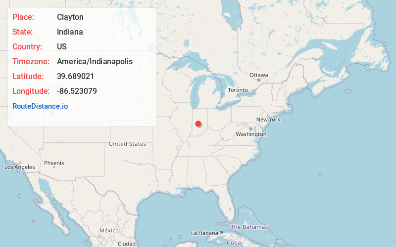
Full AddressClayton, IN 46118
-
Coordinates39.6890209, -86.5230792
-
LocationClayton , Indiana , US
-
TimezoneAmerica/Indianapolis
-
Website
-
Page Views0
About Clayton
Clayton is a small town in Liberty Township, Hendricks County, Indiana, United States. The population was 908 at the 2020 census.


Nearby Places
Found 10 places within 50 miles

Danville
5.0 mi
8.0 km
Danville, IN
Get directions

Plainfield
6.5 mi
10.5 km
Plainfield, IN
Get directions

Monrovia
7.9 mi
12.7 km
Monrovia, IN 46157
Get directions

Avon
9.1 mi
14.6 km
Avon, IN
Get directions

Mooresville
9.5 mi
15.3 km
Mooresville, IN
Get directions

Pittsboro
12.4 mi
20.0 km
Pittsboro, IN
Get directions

Brownsburg
12.6 mi
20.3 km
Brownsburg, IN
Get directions

Brooklyn
13.2 mi
21.2 km
Brooklyn, IN
Get directions

Clermont
13.5 mi
21.7 km
Clermont, IN 46234
Get directions

Speedway
16.1 mi
25.9 km
Speedway, IN
Get directions
Location Links
Local Weather
Weather Information
Coming soon!
Location Map
Static map view of Clayton, Indiana
Browse Places by Distance
Places within specific distances from Clayton
Short Distances
Long Distances
Click any distance to see all places within that range from Clayton. Distances shown in miles (1 mile ≈ 1.61 kilometers).