Distance to Clayton, Kansas

Calculating Your Route
Just a moment while we process your request...
Location Information
-
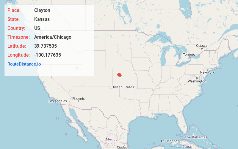
Full AddressClayton, KS 67629
-
Coordinates39.7375045, -100.1776352
-
LocationClayton , Kansas , US
-
TimezoneAmerica/Chicago
-
Current Local Time2:58:16 PM America/ChicagoFriday, May 30, 2025
-
Page Views0
About Clayton
Clayton is a city in Decatur and Norton counties in the U.S. state of Kansas. As of the 2020 census, the population of the city was 44.
Nearby Places
Found 10 places within 50 miles

Norcatur
6.9 mi
11.1 km
Norcatur, KS 67653
Get directions

Jennings
7.3 mi
11.7 km
Jennings, KS 67643
Get directions
Lenora
12.8 mi
20.6 km
Lenora, KS 67645
Get directions
Norton
16.6 mi
26.7 km
Norton, KS 67654
Get directions

Oberlin
19.4 mi
31.2 km
Oberlin, KS 67749
Get directions
Edmond
20.4 mi
32.8 km
Edmond, KS 67645
Get directions
Lebanon
22.3 mi
35.9 km
Lebanon, NE 69036
Get directions
Selden
24.8 mi
39.9 km
Selden, KS 67757
Get directions
Almena
27.2 mi
43.8 km
Almena, KS 67622
Get directions
Morland
27.4 mi
44.1 km
Morland, KS 67650
Get directions
Location Links
Local Weather
Weather Information
Coming soon!
Location Map
Static map view of Clayton, Kansas
Browse Places by Distance
Places within specific distances from Clayton
Short Distances
Long Distances
Click any distance to see all places within that range from Clayton. Distances shown in miles (1 mile ≈ 1.61 kilometers).