Distance to Clayton, Wyoming

Calculating Your Route
Just a moment while we process your request...
Location Information
-
Full AddressClayton, WY 82637
-
Coordinates42.8538556, -105.7516657
-
LocationWyoming , US
-
TimezoneAmerica/Denver
-
Current Local Time1:32:31 PM America/DenverSaturday, June 21, 2025
-
Page Views0
Nearby Places
Found 10 places within 50 miles

Rolling Hills
5.8 mi
9.3 km
Rolling Hills, WY 82637
Get directions

Glenrock
6.1 mi
9.8 km
Glenrock, WY 82637
Get directions
Meadow Acres
17.3 mi
27.8 km
Meadow Acres, WY 82636
Get directions

Douglas
19.8 mi
31.9 km
Douglas, WY 82633
Get directions
Brookhurst
24.6 mi
39.6 km
Brookhurst, WY 82636
Get directions
Strouds
24.8 mi
39.9 km
Strouds, Evansville, WY 82636
Get directions

Evansville
26.3 mi
42.3 km
Evansville, WY
Get directions

Casper
27.7 mi
44.6 km
Casper, WY
Get directions
Crimson Dawn
28.0 mi
45.1 km
Crimson Dawn, Casper Mountain, WY 82601
Get directions

Hartrandt
30.2 mi
48.6 km
Hartrandt, WY 82601
Get directions
Location Links
Local Weather
Weather Information
Coming soon!
Location Map
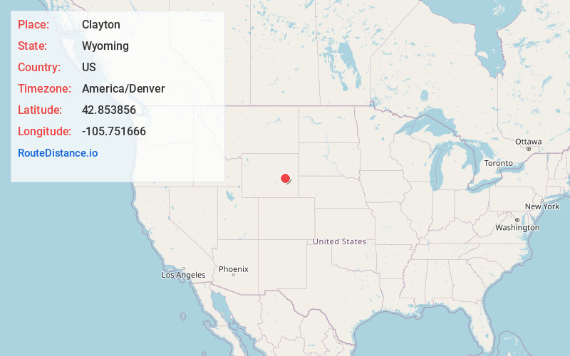
Static map view of Clayton, Wyoming
Browse Places by Distance
Places within specific distances from Clayton
Short Distances
Long Distances
Click any distance to see all places within that range from Clayton. Distances shown in miles (1 mile ≈ 1.61 kilometers).