Distance to Clayton, Pennsylvania

Calculating Your Route
Just a moment while we process your request...
Location Information
-
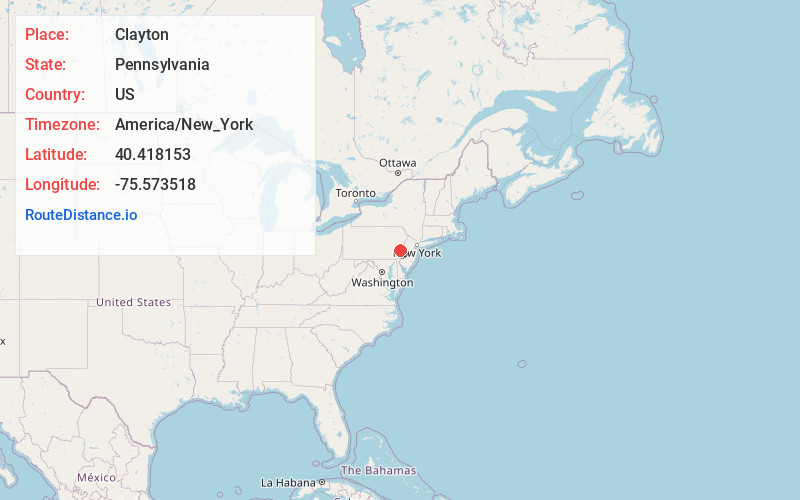
Full AddressClayton, PA 19504
-
Coordinates40.4181531, -75.573518
-
LocationClayton , Pennsylvania , US
-
TimezoneAmerica/New_York
-
Current Local Time1:50:11 PM America/New_YorkFriday, June 6, 2025
-
Page Views0
About Clayton
Clayton is an unincorporated community in Berks County, Pennsylvania, United States. Clayton is located at the intersection of Pennsylvania Route 100, Church Hill Road, and Kutztown Road on the border of Hereford and Washington townships.
Nearby Places
Found 10 places within 50 miles

Bally
1.3 mi
2.1 km
Bally, PA
Get directions
Hereford
2.4 mi
3.9 km
Hereford, PA
Get directions
Barto
2.7 mi
4.3 km
Barto, PA 19504
Get directions
Schultzville
2.8 mi
4.5 km
Schultzville, PA 19504
Get directions
Huffs Church
3.1 mi
5.0 km
Huffs Church, Hereford Township, PA 19504
Get directions
East Greenville
3.9 mi
6.3 km
East Greenville, PA 18041
Get directions
Sigmund
3.9 mi
6.3 km
Sigmund, Upper Milford Township, PA 18092
Get directions
Seisholtzville
3.9 mi
6.3 km
Seisholtzville, Hereford Township, PA 18062
Get directions
Perkiomen Heights
4.2 mi
6.8 km
Perkiomen Heights, Upper Hanover Township, PA 18073
Get directions
Upper Hanover Township
4.2 mi
6.8 km
Upper Hanover Township, PA
Get directions
Location Links
Local Weather
Weather Information
Coming soon!
Location Map
Static map view of Clayton, Pennsylvania
Browse Places by Distance
Places within specific distances from Clayton
Short Distances
Long Distances
Click any distance to see all places within that range from Clayton. Distances shown in miles (1 mile ≈ 1.61 kilometers).