Distance to Clayton, Oklahoma

Calculating Your Route
Just a moment while we process your request...
Location Information
-
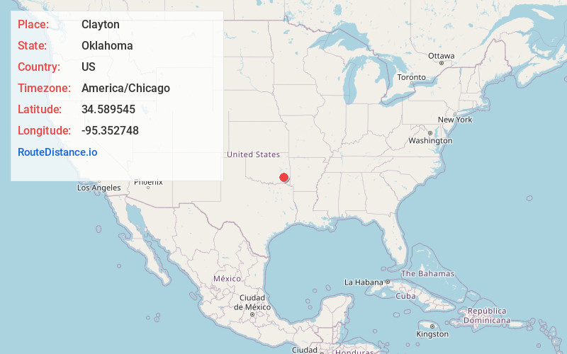
Full AddressClayton, OK 74536
-
Coordinates34.589545, -95.3527475
-
LocationClayton , Oklahoma , US
-
TimezoneAmerica/Chicago
-
Current Local Time6:37:58 PM America/ChicagoSunday, June 1, 2025
-
Page Views0
About Clayton
Clayton is a town in northern Pushmataha County, Oklahoma, United States. The population was 555 as of the 2020 Census.


Nearby Places
Found 10 places within 50 miles

Talihina
20.6 mi
33.2 km
Talihina, OK 74571
Get directions

Hartshorne
21.1 mi
34.0 km
Hartshorne, OK 74547
Get directions

Wilburton
22.9 mi
36.9 km
Wilburton, OK 74578
Get directions

Antlers
29.1 mi
46.8 km
Antlers, OK 74523
Get directions

Krebs
31.2 mi
50.2 km
Krebs, OK 74501
Get directions

Kiowa
32.4 mi
52.1 km
Kiowa, OK 74553
Get directions

McAlester
33.5 mi
53.9 km
McAlester, OK 74501
Get directions

Quinton
36.9 mi
59.4 km
Quinton, OK 74561
Get directions

Hugo
41.0 mi
66.0 km
Hugo, OK 74743
Get directions

Valliant
43.2 mi
69.5 km
Valliant, OK 74764
Get directions
Location Links
Local Weather
Weather Information
Coming soon!
Location Map
Static map view of Clayton, Oklahoma
Browse Places by Distance
Places within specific distances from Clayton
Short Distances
Long Distances
Click any distance to see all places within that range from Clayton. Distances shown in miles (1 mile ≈ 1.61 kilometers).