Distance to Clayton, North Carolina

Calculating Your Route
Just a moment while we process your request...
Location Information
-
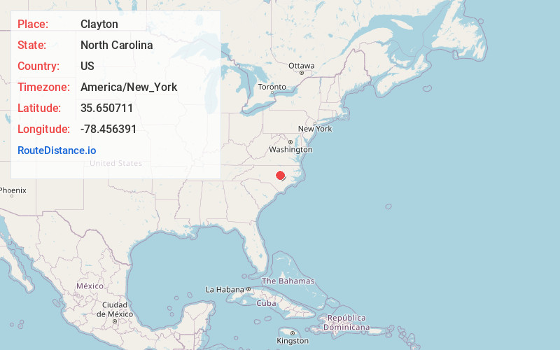
Full AddressClayton, NC
-
Coordinates35.650711, -78.4563914
-
LocationClayton , North Carolina , US
-
TimezoneAmerica/New_York
-
Current Local Time12:08:29 PM America/New_YorkSaturday, May 31, 2025
-
Website
-
Page Views0
About Clayton
Clayton is a town in Johnston County, North Carolina, United States, and is considered a satellite town of Raleigh. As of 2020, Clayton's population was 26,307, up from 16,116 at the 2010 census. By 2024 the town's estimated population was 30,621.


Nearby Places
Found 10 places within 50 miles

Garner
9.8 mi
15.8 km
Garner, NC
Get directions

Raleigh
13.5 mi
21.7 km
Raleigh, NC
Get directions

Fuquay-Varina
19.8 mi
31.9 km
Fuquay-Varina, NC
Get directions

Cary
20.5 mi
33.0 km
Cary, NC
Get directions

Holly Springs
21.2 mi
34.1 km
Holly Springs, NC
Get directions

Apex
22.8 mi
36.7 km
Apex, NC
Get directions

Wake Forest
22.9 mi
36.9 km
Wake Forest, NC
Get directions

Morrisville
23.9 mi
38.5 km
Morrisville, NC
Get directions

Wilson
31.0 mi
49.9 km
Wilson, NC
Get directions

Goldsboro
31.8 mi
51.2 km
Goldsboro, NC
Get directions
Location Links
Local Weather
Weather Information
Coming soon!
Location Map
Static map view of Clayton, North Carolina
Browse Places by Distance
Places within specific distances from Clayton
Short Distances
Long Distances
Click any distance to see all places within that range from Clayton. Distances shown in miles (1 mile ≈ 1.61 kilometers).