Distance to Clayton, Louisiana

Calculating Your Route
Just a moment while we process your request...
Location Information
-
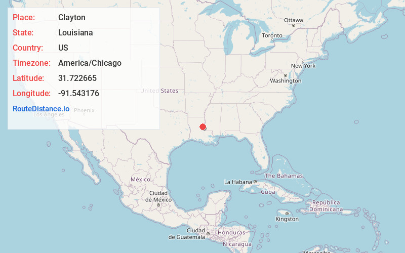
Full AddressClayton, LA 71326
-
Coordinates31.7226647, -91.5431761
-
LocationClayton , Louisiana , US
-
TimezoneAmerica/Chicago
-
Current Local Time5:42:27 PM America/ChicagoSaturday, June 14, 2025
-
Page Views0
About Clayton
Clayton is a town in northern Concordia Parish, Louisiana, United States. The population was 711 at the 2010 census. Cotton is a principal commodity in the area. Clayton is located on the Tensas River, important for fishing and boating, promoted through a U.S. Army Corps of Engineers-maintained boat launch.
Nearby Places
Found 10 places within 50 miles

Spokane
5.1 mi
8.2 km
Spokane, LA 71334
Get directions

Ferriday
6.4 mi
10.3 km
Ferriday, LA 71334
Get directions
Ridgecrest
8.3 mi
13.4 km
Ridgecrest, LA 71334
Get directions
Minorca
10.6 mi
17.1 km
Minorca, LA 71373
Get directions

Sicily Island
10.8 mi
17.4 km
Sicily Island, LA 71368
Get directions
Waterproof
11.0 mi
17.7 km
Waterproof, LA 71375
Get directions

Vidalia
12.9 mi
20.8 km
Vidalia, LA 71373
Get directions

Natchez
13.9 mi
22.4 km
Natchez, MS 39120
Get directions
Wallace Ridge
16.7 mi
26.9 km
Wallace Ridge, LA 71343
Get directions
Cloverdale
17.1 mi
27.5 km
Cloverdale, MS 39120
Get directions
Location Links
Local Weather
Weather Information
Coming soon!
Location Map
Static map view of Clayton, Louisiana
Browse Places by Distance
Places within specific distances from Clayton
Short Distances
Long Distances
Click any distance to see all places within that range from Clayton. Distances shown in miles (1 mile ≈ 1.61 kilometers).