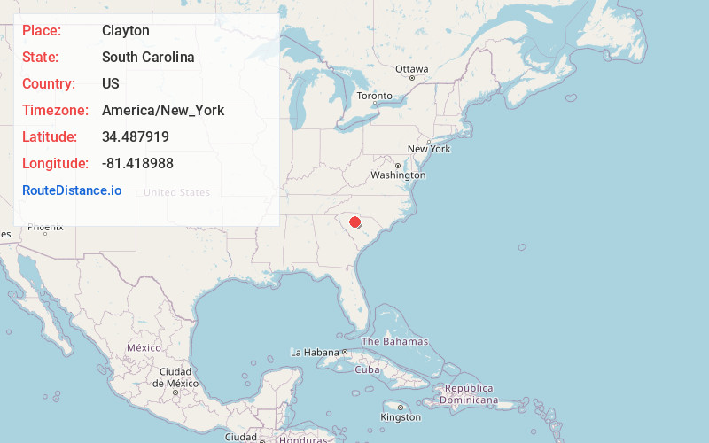
Distance to Clayton, South Carolina

Calculating Your Route
Just a moment while we process your request...
Location Information
-
Full AddressClayton, SC 29015
-
Coordinates34.4879194, -81.4189881
-
LocationSouth Carolina , US
-
TimezoneAmerica/New_York
-
Current Local Time1:18:57 AM America/New_YorkSunday, June 29, 2025
-
Page Views0
Nearby Places
Found 10 places within 50 miles

Shelton
0.7 mi
1.1 km
Shelton, SC 29015
Get directions
Herbert
1.1 mi
1.8 km
Herbert, SC 29031
Get directions
Feasterville
3.5 mi
5.6 km
Feasterville, SC 29015
Get directions
Maybinton
4.1 mi
6.6 km
Maybinton, SC 29178
Get directions
Tuckertown
4.6 mi
7.4 km
Tuckertown, SC 29031
Get directions
Cool Branch
4.8 mi
7.7 km
Cool Branch, SC 29015
Get directions
Glymphville
6.4 mi
10.3 km
Glymphville, SC 29126
Get directions
Strother
6.7 mi
10.8 km
Strother, SC 29015
Get directions
Carlisle
7.7 mi
12.4 km
Carlisle, SC 29031
Get directions
Salem Crossroads
8.3 mi
13.4 km
Salem Crossroads, SC 29015
Get directions
Location Links
Local Weather
Weather Information
Coming soon!
Location Map
Static map view of Clayton, South Carolina
Browse Places by Distance
Places within specific distances from Clayton
Short Distances
Long Distances
Click any distance to see all places within that range from Clayton. Distances shown in miles (1 mile ≈ 1.61 kilometers).