Distance to Clayton, Texas

Calculating Your Route
Just a moment while we process your request...
Location Information
-
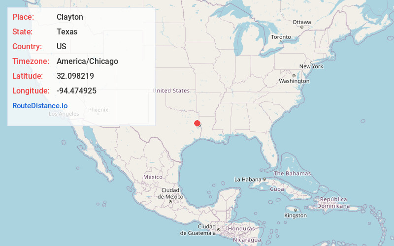
Full AddressClayton, TX 75633
-
Coordinates32.098219, -94.4749246
-
LocationClayton , Texas , US
-
TimezoneAmerica/Chicago
-
Current Local Time5:01:40 PM America/ChicagoSaturday, May 31, 2025
-
Page Views0
About Clayton
Clayton is an unincorporated community in Panola County, Texas, United States. According to the Handbook of Texas, the community had an estimated population of 79 in 2000.
Nearby Places
Found 10 places within 50 miles

Buncome
4.5 mi
7.2 km
Buncome, TX 75633
Get directions

Holland Quarters
5.7 mi
9.2 km
Holland Quarters, TX 75633
Get directions
Daniels
6.2 mi
10.0 km
Daniels, TX 75643
Get directions

Gary City
7.6 mi
12.2 km
Gary City, TX 75643
Get directions
Pinehill
7.6 mi
12.2 km
Pinehill, TX 75654
Get directions
Riderville
8.5 mi
13.7 km
Riderville, TX 75633
Get directions

Carthage
9.0 mi
14.5 km
Carthage, TX 75633
Get directions

Beckville
10.1 mi
16.3 km
Beckville, TX 75631
Get directions
Brachfield
10.8 mi
17.4 km
Brachfield, TX 75654
Get directions
Caledonia
12.4 mi
20.0 km
Caledonia, TX 75946
Get directions
Location Links
Local Weather
Weather Information
Coming soon!
Location Map
Static map view of Clayton, Texas
Browse Places by Distance
Places within specific distances from Clayton
Short Distances
Long Distances
Click any distance to see all places within that range from Clayton. Distances shown in miles (1 mile ≈ 1.61 kilometers).