Distance to Clear Brook, Virginia

Calculating Your Route
Just a moment while we process your request...
Location Information
-
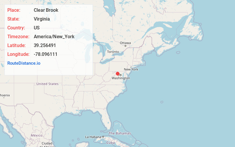
Full AddressClear Brook, VA 22624
-
Coordinates39.2564912, -78.0961109
-
LocationClear Brook , Virginia , US
-
TimezoneAmerica/New_York
-
Current Local Time2:09:10 PM America/New_YorkTuesday, June 24, 2025
-
Page Views0
About Clear Brook
Clear Brook is an unincorporated farming community in northern Frederick County, Virginia. The community lies approximately six miles north of the county seat of Winchester along Martinsburg Pike.

Nearby Places
Found 10 places within 50 miles

Brucetown
1.6 mi
2.6 km
Brucetown, VA 22624
Get directions
Rest
2.4 mi
3.9 km
Rest, VA 22624
Get directions
Burnt Factory
4.4 mi
7.1 km
Burnt Factory, VA 22656
Get directions
Cedar Grove
5.0 mi
8.0 km
Cedar Grove, VA 22603
Get directions

Winchester
6.1 mi
9.8 km
Winchester, VA 22601
Get directions
Burning Knolls
6.6 mi
10.6 km
Burning Knolls, VA 22602
Get directions

Middleway
6.9 mi
11.1 km
Middleway, WV 25430
Get directions

Summit Point
7.4 mi
11.9 km
Summit Point, WV 25446
Get directions

Inwood
7.6 mi
12.2 km
Inwood, WV
Get directions

Gerrardstown
7.9 mi
12.7 km
Gerrardstown, WV 25420
Get directions
Location Links
Local Weather
Weather Information
Coming soon!
Location Map
Static map view of Clear Brook, Virginia
Browse Places by Distance
Places within specific distances from Clear Brook
Short Distances
Long Distances
Click any distance to see all places within that range from Clear Brook. Distances shown in miles (1 mile ≈ 1.61 kilometers).