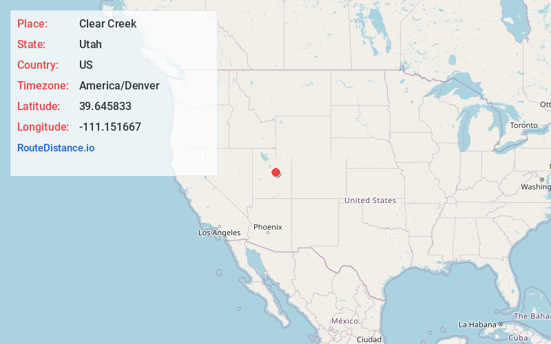
Distance to Clear Creek, Utah

Calculating Your Route
Just a moment while we process your request...
Location Information
-
Full AddressClear Creek, UT 84526
-
Coordinates39.645833, -111.151667
-
LocationClear Creek , Utah , US
-
TimezoneAmerica/Denver
-
Current Local Time8:10:04 PM America/DenverWednesday, June 18, 2025
-
Page Views0
About Clear Creek
Clear Creek is a census-designated place on the western edge of Carbon County, Utah, United States. It is located at the south end of State Route 96 and the Pleasant Valley Branch of the Union Pacific Railroad.

Nearby Places
Found 10 places within 50 miles

Scofield
5.4 mi
8.7 km
Scofield, UT 84526
Get directions

Fairview
15.4 mi
24.8 km
Fairview, UT
Get directions

Spring Glen
15.9 mi
25.6 km
Spring Glen, UT 84526
Get directions

Helper
16.0 mi
25.7 km
Helper, UT 84526
Get directions

West Wood
16.7 mi
26.9 km
West Wood, UT 84501
Get directions

Mt Pleasant
17.6 mi
28.3 km
Mt Pleasant, UT 84647
Get directions

Price
18.4 mi
29.6 km
Price, UT 84501
Get directions

Kenilworth
18.6 mi
29.9 km
Kenilworth, UT
Get directions

Spring City
21.5 mi
34.6 km
Spring City, UT 84662
Get directions

Wellington
23.4 mi
37.7 km
Wellington, UT
Get directions
Location Links
Local Weather
Weather Information
Coming soon!
Location Map
Static map view of Clear Creek, Utah
Browse Places by Distance
Places within specific distances from Clear Creek
Short Distances
Long Distances
Click any distance to see all places within that range from Clear Creek. Distances shown in miles (1 mile ≈ 1.61 kilometers).