Distance to Cleburne, Illinois

Calculating Your Route
Just a moment while we process your request...
Location Information
-
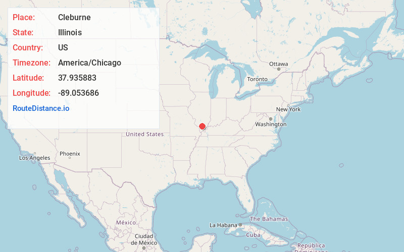
Full AddressCleburne, IL 62865
-
Coordinates37.9358834, -89.053686
-
LocationCleburne , Illinois , US
-
TimezoneAmerica/Chicago
-
Current Local Time5:29:29 PM America/ChicagoSaturday, June 21, 2025
-
Page Views0
About Cleburne
Cleburne is an unincorporated community in Six Mile Township, Franklin County, Illinois, United States. The community is located along Illinois Route 148 2.5 miles north of Zeigler.
Nearby Places
Found 10 places within 50 miles

Zeigler
2.5 mi
4.0 km
Zeigler, IL
Get directions

Christopher
2.5 mi
4.0 km
Christopher, IL
Get directions

North City
3.8 mi
6.1 km
North City, IL
Get directions

Buckner
3.8 mi
6.1 km
Buckner, IL
Get directions
Cambon
3.9 mi
6.3 km
Cambon, Denning Township, IL 62896
Get directions
Mulkeytown
4.0 mi
6.4 km
Mulkeytown, IL 62865
Get directions
Orient
4.3 mi
6.9 km
Orient, IL
Get directions

Royalton
5.2 mi
8.4 km
Royalton, IL 62983
Get directions
Valier
5.5 mi
8.9 km
Valier, IL
Get directions
Freeman Spur
6.0 mi
9.7 km
Freeman Spur, IL
Get directions
Location Links
Local Weather
Weather Information
Coming soon!
Location Map
Static map view of Cleburne, Illinois
Browse Places by Distance
Places within specific distances from Cleburne
Short Distances
Long Distances
Click any distance to see all places within that range from Cleburne. Distances shown in miles (1 mile ≈ 1.61 kilometers).