Distance to Cleburne, Texas

Calculating Your Route
Just a moment while we process your request...
Location Information
-
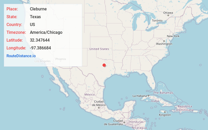
Full AddressCleburne, TX
-
Coordinates32.3476438, -97.3866837
-
LocationCleburne , Texas , US
-
TimezoneAmerica/Chicago
-
Current Local Time11:06:19 AM America/ChicagoThursday, June 19, 2025
-
Website
-
Page Views0
About Cleburne
Cleburne is a city in and the county seat of Johnson County, Texas, United States. As of the 2020 census, its population was 31,352. The city is named in honor of Patrick Cleburne, a Confederate general. Lake Pat Cleburne, the reservoir that provides water to the city and surrounding area, is also named after him.


Nearby Places
Found 10 places within 50 miles

Burleson
14.0 mi
22.5 km
Burleson, TX
Get directions

Mansfield
20.9 mi
33.6 km
Mansfield, TX
Get directions

Midlothian
23.7 mi
38.1 km
Midlothian, TX
Get directions

Fort Worth
28.4 mi
45.7 km
Fort Worth, TX
Get directions

Cedar Hill
30.1 mi
48.4 km
Cedar Hill, TX
Get directions

Arlington
31.3 mi
50.4 km
Arlington, TX
Get directions

Waxahachie
31.5 mi
50.7 km
Waxahachie, TX
Get directions

Haltom City
32.0 mi
51.5 km
Haltom City, TX
Get directions

Duncanville
34.9 mi
56.2 km
Duncanville, TX
Get directions

DeSoto
35.1 mi
56.5 km
DeSoto, TX 75115
Get directions
Location Links
Local Weather
Weather Information
Coming soon!
Location Map
Static map view of Cleburne, Texas
Browse Places by Distance
Places within specific distances from Cleburne
Short Distances
Long Distances
Click any distance to see all places within that range from Cleburne. Distances shown in miles (1 mile ≈ 1.61 kilometers).