Distance to Clements, Kansas

Calculating Your Route
Just a moment while we process your request...
Location Information
-
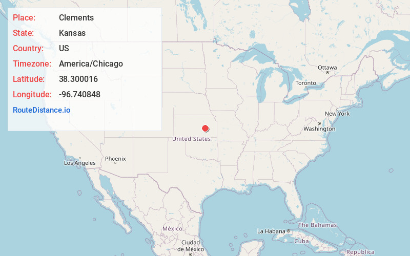
Full AddressClements, KS 66843
-
Coordinates38.3000159, -96.740848
-
LocationClements , Kansas , US
-
TimezoneAmerica/Chicago
-
Current Local Time10:22:08 PM America/ChicagoThursday, June 19, 2025
-
Page Views0
About Clements
Clements is an unincorporated community in Chase County, Kansas, United States. It is located about halfway between Strong City and Florence near the intersection of U.S. Route 50 highway and G Rd.


Nearby Places
Found 10 places within 50 miles

Cedar Point
5.1 mi
8.2 km
Cedar Point, KS 66843
Get directions

Elmdale
7.3 mi
11.7 km
Elmdale, KS 66850
Get directions

Florence
10.9 mi
17.5 km
Florence, KS 66851
Get directions

Cottonwood Falls
11.8 mi
19.0 km
Cottonwood Falls, KS
Get directions

Strong City
12.9 mi
20.8 km
Strong City, KS 66869
Get directions

Matfield Green
13.8 mi
22.2 km
Matfield Green, KS 66862
Get directions

Marion
15.4 mi
24.8 km
Marion, KS 66861
Get directions
Burns
16.5 mi
26.6 km
Burns, KS 66840
Get directions

Lincolnville
17.9 mi
28.8 km
Lincolnville, KS 66858
Get directions
Cassoday
18.9 mi
30.4 km
Cassoday, KS 66842
Get directions
Location Links
Local Weather
Weather Information
Coming soon!
Location Map
Static map view of Clements, Kansas
Browse Places by Distance
Places within specific distances from Clements
Short Distances
Long Distances
Click any distance to see all places within that range from Clements. Distances shown in miles (1 mile ≈ 1.61 kilometers).