Distance to Cleveland, Wisconsin

Calculating Your Route
Just a moment while we process your request...
Location Information
-
Full AddressCleveland, WI 53015
-
Coordinates43.9149942, -87.7473085
-
LocationCleveland , Wisconsin , US
-
TimezoneAmerica/Chicago
-
Current Local Time9:54:41 PM America/ChicagoTuesday, June 3, 2025
-
Page Views0
About Cleveland
Cleveland is a village in Manitowoc County, Wisconsin, United States. The population was 1,579 at the 2020 census.


Nearby Places
Found 10 places within 50 miles

Howards Grove
6.7 mi
10.8 km
Howards Grove, WI
Get directions

Sheboygan
11.5 mi
18.5 km
Sheboygan, WI
Get directions

Kohler
12.3 mi
19.8 km
Kohler, WI
Get directions

Manitowoc
12.8 mi
20.6 km
Manitowoc, WI 54220
Get directions

Sheboygan Falls
13.2 mi
21.2 km
Sheboygan Falls, WI
Get directions

Kiel
14.4 mi
23.2 km
Kiel, WI 53042
Get directions

Plymouth
16.2 mi
26.1 km
Plymouth, WI 53073
Get directions

New Holstein
16.9 mi
27.2 km
New Holstein, WI 53061
Get directions

Two Rivers
18.7 mi
30.1 km
Two Rivers, WI
Get directions

Oostburg
20.3 mi
32.7 km
Oostburg, WI 53070
Get directions
Location Links
Local Weather
Weather Information
Coming soon!
Location Map
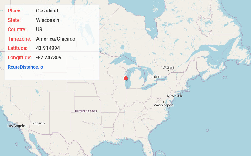
Static map view of Cleveland, Wisconsin
Browse Places by Distance
Places within specific distances from Cleveland
Short Distances
Long Distances
Click any distance to see all places within that range from Cleveland. Distances shown in miles (1 mile ≈ 1.61 kilometers).