Distance to Cleveland, Ohio

Calculating Your Route
Just a moment while we process your request...
Location Information
-
Full AddressCleveland, OH
-
Coordinates41.49932, -81.6943605
-
LocationCleveland , Ohio , US
-
TimezoneAmerica/New_York
-
Current Local Time6:00:05 PM America/New_YorkThursday, June 19, 2025
-
Website
-
Page Views0
About Cleveland
Cleveland is a city in the U.S. state of Ohio and the county seat of Cuyahoga County. Located along the southern shore of Lake Erie, it is situated across the Canada–United States maritime border and lies approximately 60 mi west of Pennsylvania.


Nearby Places
Found 1 places within 50 miles

Location Links
Local Weather
Weather Information
Coming soon!
Location Map
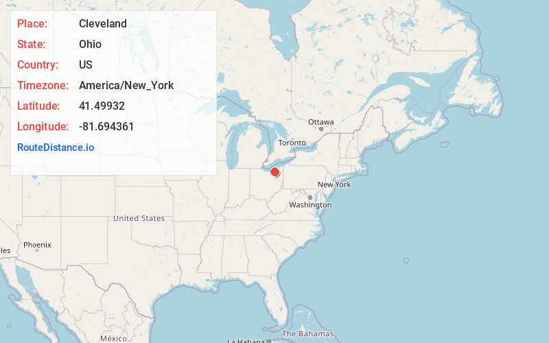
Static map view of Cleveland, Ohio
Browse Places by Distance
Places within specific distances from Cleveland
Short Distances
Long Distances
Click any distance to see all places within that range from Cleveland. Distances shown in miles (1 mile ≈ 1.61 kilometers).