Distance to Cleveland, New York

Calculating Your Route
Just a moment while we process your request...
Location Information
-
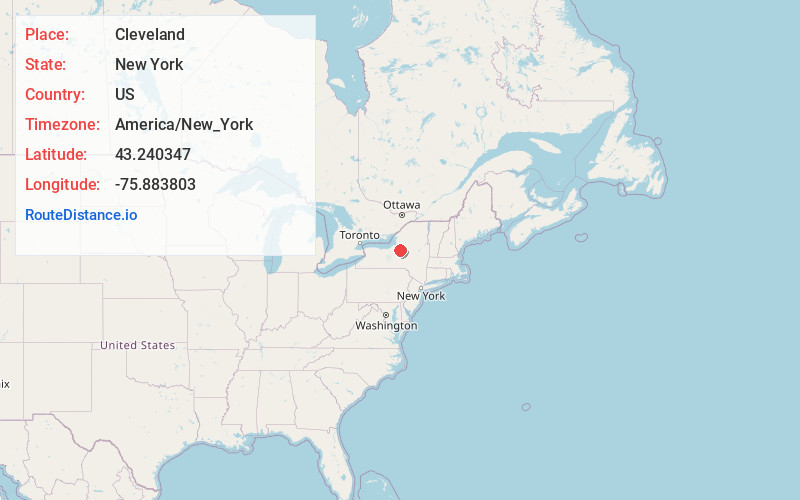
Full AddressCleveland, NY 13042
-
Coordinates43.2403467, -75.8838027
-
LocationCleveland , New York , US
-
TimezoneAmerica/New_York
-
Current Local Time5:08:03 AM America/New_YorkWednesday, June 4, 2025
-
Page Views0
About Cleveland
Cleveland is a village in Oswego County, New York, United States. The population was 750 at the 2010 census. The village is located at the eastern boundary of the town of Constantia on NY Route 49.

Nearby Places
Found 10 places within 50 miles

Constantia
5.9 mi
9.5 km
Constantia, NY
Get directions
Bridgeport
7.3 mi
11.7 km
Bridgeport, NY
Get directions

West Monroe
9.6 mi
15.4 km
West Monroe, NY 13167
Get directions
Williamstown
12.7 mi
20.4 km
Williamstown, NY 13493
Get directions

Minoa
12.8 mi
20.6 km
Minoa, NY
Get directions

Brewerton
12.9 mi
20.8 km
Brewerton, NY
Get directions
Sullivan
13.0 mi
20.9 km
Sullivan, NY 13037
Get directions

Canastota
13.0 mi
20.9 km
Canastota, NY 13032
Get directions

Chittenango
13.5 mi
21.7 km
Chittenango, NY 13037
Get directions

Central Square
13.6 mi
21.9 km
Central Square, NY 13036
Get directions
Location Links
Local Weather
Weather Information
Coming soon!
Location Map
Static map view of Cleveland, New York
Browse Places by Distance
Places within specific distances from Cleveland
Short Distances
Long Distances
Click any distance to see all places within that range from Cleveland. Distances shown in miles (1 mile ≈ 1.61 kilometers).