Distance to Clifton Forge, Virginia

Calculating Your Route
Just a moment while we process your request...
Location Information
-
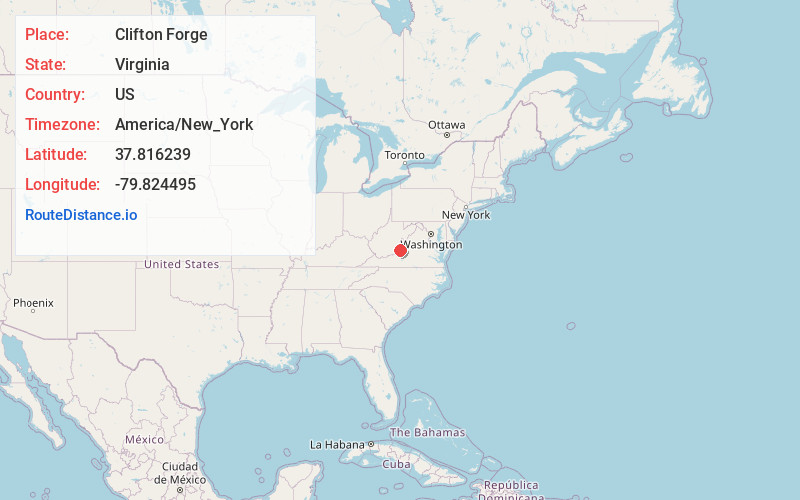
Full AddressClifton Forge, VA 24422
-
Coordinates37.816239, -79.8244947
-
LocationClifton Forge , Virginia , US
-
TimezoneAmerica/New_York
-
Current Local Time11:57:50 PM America/New_YorkThursday, June 19, 2025
-
Page Views0
About Clifton Forge
Clifton Forge is a town in Alleghany County, Virginia, United States which is part of the greater Roanoke Region. The population was 3,555 at the 2020 census. The Jackson River flows through the town, which as a result was once known as Jackson's River Station.


Nearby Places
Found 10 places within 50 miles

Covington
9.4 mi
15.1 km
Covington, VA 24426
Get directions

Lexington
21.0 mi
33.8 km
Lexington, VA 24450
Get directions

Buena Vista
26.3 mi
42.3 km
Buena Vista, VA
Get directions

Hollins
33.5 mi
53.9 km
Hollins, VA
Get directions

Lewisburg
33.9 mi
54.6 km
Lewisburg, WV 24901
Get directions

Bedford
37.2 mi
59.9 km
Bedford, VA 24523
Get directions

Vinton
37.2 mi
59.9 km
Vinton, VA
Get directions

Roanoke
38.3 mi
61.6 km
Roanoke, VA
Get directions

Salem
38.3 mi
61.6 km
Salem, VA 24153
Get directions

Cave Spring
42.0 mi
67.6 km
Cave Spring, VA 24018
Get directions
Location Links
Local Weather
Weather Information
Coming soon!
Location Map
Static map view of Clifton Forge, Virginia
Browse Places by Distance
Places within specific distances from Clifton Forge
Short Distances
Long Distances
Click any distance to see all places within that range from Clifton Forge. Distances shown in miles (1 mile ≈ 1.61 kilometers).