Distance to Clifton, Colorado

Calculating Your Route
Just a moment while we process your request...
Location Information
-
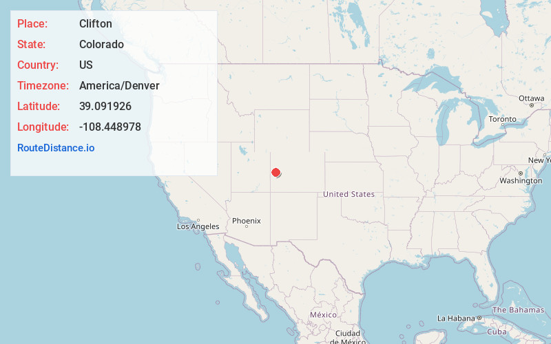
Full AddressClifton, CO
-
Coordinates39.0919256, -108.4489784
-
LocationClifton , Colorado , US
-
TimezoneAmerica/Denver
-
Current Local Time6:14:43 AM America/DenverWednesday, June 18, 2025
-
Page Views0
About Clifton
Clifton is a census-designated place and post office in and governed by Mesa County, Colorado, United States. It is part of the Grand Junction, CO Metropolitan Statistical Area. The Clifton post office has the ZIP Code 81520. As of the 2020 census, the population of the Clifton CDP was 20,413.


Nearby Places
Found 1 places within 50 miles

Location Links
Local Weather
Weather Information
Coming soon!
Location Map
Static map view of Clifton, Colorado
Browse Places by Distance
Places within specific distances from Clifton
Short Distances
Long Distances
Click any distance to see all places within that range from Clifton. Distances shown in miles (1 mile ≈ 1.61 kilometers).