Distance to Clinton, South Carolina

Calculating Your Route
Just a moment while we process your request...
Location Information
-
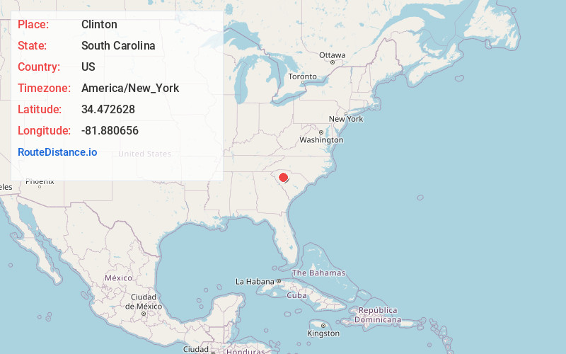
Full AddressClinton, SC 29325
-
Coordinates34.4726276, -81.8806562
-
LocationClinton , South Carolina , US
-
TimezoneAmerica/New_York
-
Current Local Time6:29:42 AM America/New_YorkTuesday, June 3, 2025
-
Website
-
Page Views0
About Clinton
Clinton is a city in Laurens County, South Carolina, United States. The population was 8,490 as of the 2010 census. It is part of the Greenville–Mauldin–Easley Metropolitan Statistical Area in upstate South Carolina. Clinton is the home of Presbyterian College.


Nearby Places
Found 10 places within 50 miles

Laurens
7.8 mi
12.6 km
Laurens, SC 29360
Get directions

Newberry
20.3 mi
32.7 km
Newberry, SC 29108
Get directions

Union
22.2 mi
35.7 km
Union, SC 29379
Get directions

Fountain Inn
23.3 mi
37.5 km
Fountain Inn, SC
Get directions

Greenwood
25.0 mi
40.2 km
Greenwood, SC
Get directions

Simpsonville
28.0 mi
45.1 km
Simpsonville, SC
Get directions

Five Forks
30.3 mi
48.8 km
Five Forks, SC
Get directions

Mauldin
32.3 mi
52.0 km
Mauldin, SC
Get directions

Spartanburg
33.2 mi
53.4 km
Spartanburg, SC
Get directions

Gantt
36.4 mi
58.6 km
Gantt, SC
Get directions
Location Links
Local Weather
Weather Information
Coming soon!
Location Map
Static map view of Clinton, South Carolina
Browse Places by Distance
Places within specific distances from Clinton
Short Distances
Long Distances
Click any distance to see all places within that range from Clinton. Distances shown in miles (1 mile ≈ 1.61 kilometers).