Distance to Clive, Utah

Calculating Your Route
Just a moment while we process your request...
Location Information
-
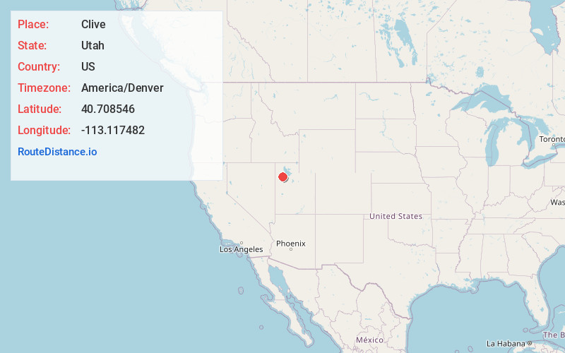
Full AddressClive, UT 84029
-
Coordinates40.7085463, -113.1174816
-
LocationUtah , US
-
TimezoneAmerica/Denver
-
Current Local Time2:40:43 AM America/DenverWednesday, May 21, 2025
-
Page Views0
About Clive
The Clive Disposal Site is the site of a radioactive waste storage facility currently operated by EnergySolutions in Clive, Utah, an unincorporated community of Tooele County. It is located in the western portion of the state, close to the Dugway Proving Grounds.
Nearby Places
Found 10 places within 50 miles

Aragonite
6.3 mi
10.1 km
Aragonite, UT 84029
Get directions

Knolls
9.1 mi
14.6 km
Knolls, UT
Get directions

Low
10.7 mi
17.2 km
Low, UT 84029
Get directions

Burmester
34.7 mi
55.8 km
Burmester, UT 84029
Get directions

Grantsville
35.0 mi
56.3 km
Grantsville, UT
Get directions
Hogup
38.0 mi
61.2 km
Hogup, UT
Get directions
Salduro
38.7 mi
62.3 km
Salduro, UT
Get directions

Dugway
39.0 mi
62.8 km
Dugway, UT 84022
Get directions
Tresend
40.0 mi
64.4 km
Tresend, UT
Get directions

Rush Valley
42.4 mi
68.2 km
Rush Valley, UT
Get directions
Location Links
Local Weather
Weather Information
Coming soon!
Location Map
Static map view of Clive, Utah
Browse Places by Distance
Places within specific distances from Clive
Short Distances
Long Distances
Click any distance to see all places within that range from Clive. Distances shown in miles (1 mile ≈ 1.61 kilometers).