Distance to Cloverdale, Minnesota

Calculating Your Route
Just a moment while we process your request...
Location Information
-
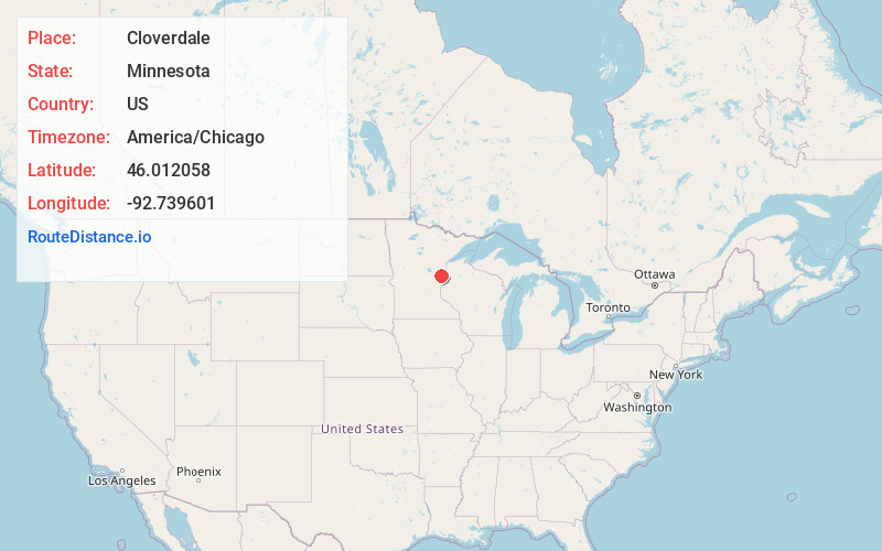
Full AddressCloverdale, MN 55037
-
Coordinates46.012058, -92.7396009
-
LocationCloverdale , Minnesota , US
-
TimezoneAmerica/Chicago
-
Current Local Time1:40:34 AM America/ChicagoThursday, July 3, 2025
-
Page Views0
About Cloverdale
Cloverdale is an unincorporated community in Arlone Township, Pine County, Minnesota, United States.
State Highway 48 and Pine County Road 21 are two of the main routes in the community.
Cloverdale is located ten miles east of Hinckley; and 18 miles west of Danbury, Wisconsin.
Bear Creek flows through the community.

Nearby Places
Found 10 places within 50 miles

Big Spring Falls
9.0 mi
14.5 km
Big Spring Falls, Sandstone, MN 55072
Get directions

Hinckley
9.6 mi
15.4 km
Hinckley, MN 55037
Get directions

Sandstone
10.3 mi
16.6 km
Sandstone, MN 55072
Get directions

Askov
12.3 mi
19.8 km
Askov, MN 55704
Get directions

Groningen
13.0 mi
20.9 km
Groningen, MN 55072
Get directions

Finlayson
15.6 mi
25.1 km
Finlayson, MN 55735
Get directions

Grantsburg
16.5 mi
26.6 km
Grantsburg, WI 54840
Get directions

Brook Park
16.7 mi
26.9 km
Brook Park, MN 55007
Get directions

Pine City
17.1 mi
27.5 km
Pine City, MN 55063
Get directions

Danbury
17.7 mi
28.5 km
Danbury, WI 54830
Get directions
Location Links
Local Weather
Weather Information
Coming soon!
Location Map
Static map view of Cloverdale, Minnesota
Browse Places by Distance
Places within specific distances from Cloverdale
Short Distances
Long Distances
Click any distance to see all places within that range from Cloverdale. Distances shown in miles (1 mile ≈ 1.61 kilometers).