Distance to Cloverdale, Georgia

Calculating Your Route
Just a moment while we process your request...
Location Information
-
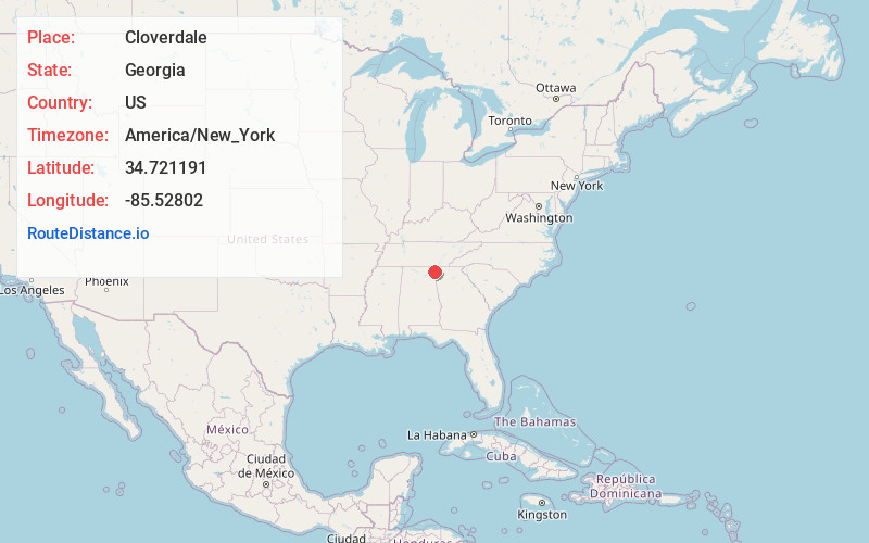
Full AddressCloverdale, GA 30738
-
Coordinates34.721191, -85.5280202
-
LocationGeorgia , US
-
TimezoneAmerica/New_York
-
Current Local Time1:02:12 PM America/New_YorkTuesday, July 1, 2025
-
Page Views0
Nearby Places
Found 10 places within 50 miles

Amos Mill
0.6 mi
1.0 km
Amos Mill, GA 30738
Get directions
Sulphur Springs Station
2.4 mi
3.9 km
Sulphur Springs Station, GA 30738
Get directions

Rising Fawn
2.7 mi
4.3 km
Rising Fawn, GA 30738
Get directions
Sulphur Springs
3.4 mi
5.5 km
Sulphur Springs, AL 35989
Get directions
Masseyville
3.7 mi
6.0 km
Masseyville, GA 30738
Get directions
Head River
4.6 mi
7.4 km
Head River, GA 30731
Get directions
Battelle
5.4 mi
8.7 km
Battelle, AL 35984
Get directions
Cedar Grove
5.8 mi
9.3 km
Cedar Grove, GA 30707
Get directions
Old Blevins Mill
6.1 mi
9.8 km
Old Blevins Mill, AL 35981
Get directions
Rogers
6.1 mi
9.8 km
Rogers, AL 35989
Get directions
Location Links
Local Weather
Weather Information
Coming soon!
Location Map
Static map view of Cloverdale, Georgia
Browse Places by Distance
Places within specific distances from Cloverdale
Short Distances
Long Distances
Click any distance to see all places within that range from Cloverdale. Distances shown in miles (1 mile ≈ 1.61 kilometers).