Distance to Coal Castle, Pennsylvania

Calculating Your Route
Just a moment while we process your request...
Location Information
-
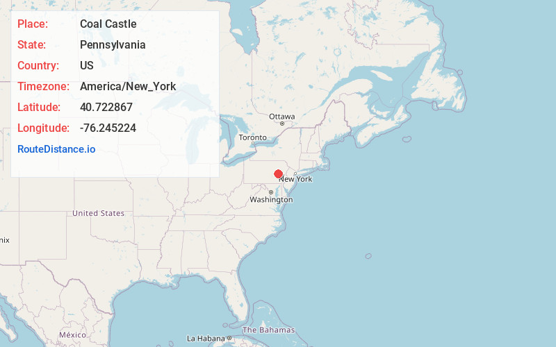
Full AddressCoal Castle, New Castle Township, PA 17901
-
Coordinates40.7228671, -76.2452239
-
LocationNew Castle Township , Pennsylvania , US
-
TimezoneAmerica/New_York
-
Current Local Time5:06:57 PM America/New_YorkFriday, June 6, 2025
-
Page Views1
Nearby Places
Found 10 places within 50 miles

Mt Laffee
1.0 mi
1.6 km
Mt Laffee, New Castle Township, PA 17901
Get directions
Heckscherville
1.5 mi
2.4 km
Heckscherville, PA 17901
Get directions
Wadesville
1.8 mi
2.9 km
Wadesville, New Castle Township, PA 17901
Get directions
Norwegian Township
1.8 mi
2.9 km
Norwegian Township, PA
Get directions

Seltzer
2.0 mi
3.2 km
Seltzer, PA 17901
Get directions
Cass Township
2.2 mi
3.5 km
Cass Township, PA 17901
Get directions
Arnots Addition
2.4 mi
3.9 km
Arnots Addition, PA 17970
Get directions

Minersville
2.4 mi
3.9 km
Minersville, PA 17954
Get directions
Dark Water
2.5 mi
4.0 km
Dark Water, PA 17901
Get directions

St Clair
2.8 mi
4.5 km
St Clair, PA
Get directions
Location Links
Local Weather
Weather Information
Coming soon!
Location Map
Static map view of Coal Castle, Pennsylvania
Browse Places by Distance
Places within specific distances from Coal Castle
Short Distances
Long Distances
Click any distance to see all places within that range from Coal Castle. Distances shown in miles (1 mile ≈ 1.61 kilometers).