Distance to Coal Fork, West Virginia

Calculating Your Route
Just a moment while we process your request...
Location Information
-
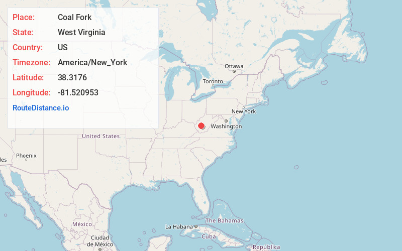
Full AddressCoal Fork, WV 25306
-
Coordinates38.3176, -81.5209534
-
LocationCoal Fork , West Virginia , US
-
TimezoneAmerica/New_York
-
Current Local Time10:50:18 AM America/New_YorkThursday, June 19, 2025
-
Page Views0
About Coal Fork
Coal Fork is an unincorporated census-designated place in Kanawha County, West Virginia, United States. It is part of a larger unincorporated community known as Campbells Creek, approximately 10 minutes east of Charleston. The population was 1,233 at the 2010 census.


Nearby Places
Found 10 places within 50 miles

Marmet
5.6 mi
9.0 km
Marmet, WV
Get directions

Belle
6.0 mi
9.7 km
Belle, WV 25015
Get directions

Charleston
6.4 mi
10.3 km
Charleston, WV
Get directions

Chesapeake
6.6 mi
10.6 km
Chesapeake, WV
Get directions

Pinch
6.6 mi
10.6 km
Pinch, WV 25071
Get directions

South Charleston
10.3 mi
16.6 km
South Charleston, WV
Get directions

Dunbar
12.1 mi
19.5 km
Dunbar, WV 25064
Get directions

Montgomery
14.1 mi
22.7 km
Montgomery, WV 25136
Get directions

Sissonville
15.7 mi
25.3 km
Sissonville, WV
Get directions

Alum Creek
15.8 mi
25.4 km
Alum Creek, WV
Get directions
Location Links
Local Weather
Weather Information
Coming soon!
Location Map
Static map view of Coal Fork, West Virginia
Browse Places by Distance
Places within specific distances from Coal Fork
Short Distances
Long Distances
Click any distance to see all places within that range from Coal Fork. Distances shown in miles (1 mile ≈ 1.61 kilometers).