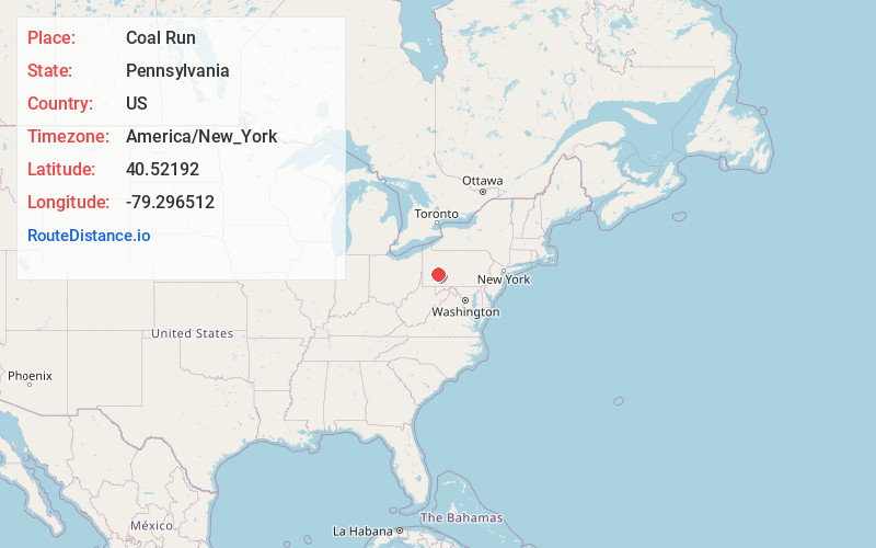
Distance to Coal Run, Pennsylvania

Calculating Your Route
Just a moment while we process your request...
Location Information
-
Full AddressCoal Run, Pennsylvania
-
Coordinates40.5219196, -79.2965121
-
LocationPennsylvania , US
-
TimezoneAmerica/New_York
-
Current Local Time3:32:04 AM America/New_YorkThursday, June 19, 2025
-
Page Views0
Nearby Places
Found 10 places within 50 miles

Jacksonville
1.5 mi
2.4 km
Jacksonville, PA
Get directions
River Valley School District
3.3 mi
5.3 km
River Valley School District, PA
Get directions
Aultman
3.5 mi
5.6 km
Aultman, PA 15713
Get directions
Campbells Mill
5.1 mi
8.2 km
Campbells Mill, Burrell Township, PA 15717
Get directions
Iselin
5.4 mi
8.7 km
Iselin, Young Township, PA 15681
Get directions
Grafton
5.7 mi
9.2 km
Grafton, Black Lick Township, PA 15717
Get directions
Crete
5.9 mi
9.5 km
Crete, Armstrong Township, PA 15701
Get directions
Smith
6.0 mi
9.7 km
Smith, Burrell Township, PA 15717
Get directions
Bairdstown
6.2 mi
10.0 km
Bairdstown, Derry Township, PA 15717
Get directions
Black Lick
6.3 mi
10.1 km
Black Lick, PA
Get directions
Location Links
Local Weather
Weather Information
Coming soon!
Location Map
Static map view of Coal Run, Pennsylvania
Browse Places by Distance
Places within specific distances from Coal Run
Short Distances
Long Distances
Click any distance to see all places within that range from Coal Run. Distances shown in miles (1 mile ≈ 1.61 kilometers).