Distance to Coal Run Village, Kentucky

Calculating Your Route
Just a moment while we process your request...
Location Information
-
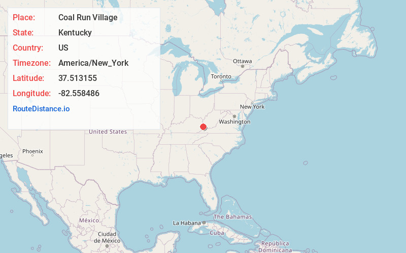
Full AddressCoal Run Village, KY 41501
-
Coordinates37.5131553, -82.5584861
-
LocationCoal Run Village , Kentucky , US
-
TimezoneAmerica/New_York
-
Current Local Time12:52:46 AM America/New_YorkMonday, June 30, 2025
-
Website
-
Page Views0
About Coal Run Village
Coal Run Village is a home rule-class city in Pike County, Kentucky, in the United States. Bordered to the north, south, and east by Pikeville, the population was 1,706 at the 2010 census. It was the fastest-growing city in Kentucky from 2007 to 2008, with a population increase of 17.3%.
Nearby Places
Found 10 places within 50 miles

Pikeville
3.2 mi
5.1 km
Pikeville, KY 41501
Get directions

Prestonsburg
15.7 mi
25.3 km
Prestonsburg, KY
Get directions

Williamson
19.0 mi
30.6 km
Williamson, WV 25661
Get directions

Jenkins
23.8 mi
38.3 km
Jenkins, KY
Get directions

Paintsville
24.9 mi
40.1 km
Paintsville, KY
Get directions

Whitesburg
31.0 mi
49.9 km
Whitesburg, KY 41858
Get directions

Salyersville
32.5 mi
52.3 km
Salyersville, KY 41465
Get directions

Wise
37.1 mi
59.7 km
Wise, VA 24293
Get directions

Logan
38.6 mi
62.1 km
Logan, WV 25601
Get directions

Hazard
39.3 mi
63.2 km
Hazard, KY
Get directions
Location Links
Local Weather
Weather Information
Coming soon!
Location Map
Static map view of Coal Run Village, Kentucky
Browse Places by Distance
Places within specific distances from Coal Run Village
Short Distances
Long Distances
Click any distance to see all places within that range from Coal Run Village. Distances shown in miles (1 mile ≈ 1.61 kilometers).