Distance to Coates, Minnesota

Calculating Your Route
Just a moment while we process your request...
Location Information
-
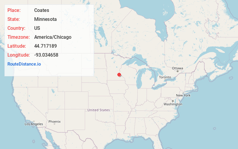
Full AddressCoates, MN 55068
-
Coordinates44.7171888, -93.0346576
-
LocationCoates , Minnesota , US
-
TimezoneAmerica/Chicago
-
Current Local Time1:56:15 PM America/ChicagoTuesday, June 24, 2025
-
Page Views0
About Coates
Coates is a town in the U.S. state of Minnesota located west of the Upper Mississippi River on the exurban fringe in central Dakota County.
U.S. Highway 52 connects north to the city of Saint Paul, while County Road 46 draws east–west to nearby suburban cities. The population was 161 at the 2010 census.
Nearby Places
Found 10 places within 50 miles

Vermillion
4.5 mi
7.2 km
Vermillion, MN
Get directions

Rosemount
4.7 mi
7.6 km
Rosemount, MN 55068
Get directions

Farmington
7.5 mi
12.1 km
Farmington, MN
Get directions

Hampton
7.5 mi
12.1 km
Hampton, MN 55031
Get directions

St Paul Park
8.4 mi
13.5 km
St Paul Park, MN
Get directions

Eagan
8.8 mi
14.2 km
Eagan, MN
Get directions

Cottage Grove
8.8 mi
14.2 km
Cottage Grove, MN
Get directions

Apple Valley
9.0 mi
14.5 km
Apple Valley, MN 55124
Get directions

Hastings
9.2 mi
14.8 km
Hastings, MN 55033
Get directions

Newport
10.5 mi
16.9 km
Newport, MN
Get directions
Location Links
Local Weather
Weather Information
Coming soon!
Location Map
Static map view of Coates, Minnesota
Browse Places by Distance
Places within specific distances from Coates
Short Distances
Long Distances
Click any distance to see all places within that range from Coates. Distances shown in miles (1 mile ≈ 1.61 kilometers).