Distance to Coats Grove, Michigan

Calculating Your Route
Just a moment while we process your request...
Location Information
-
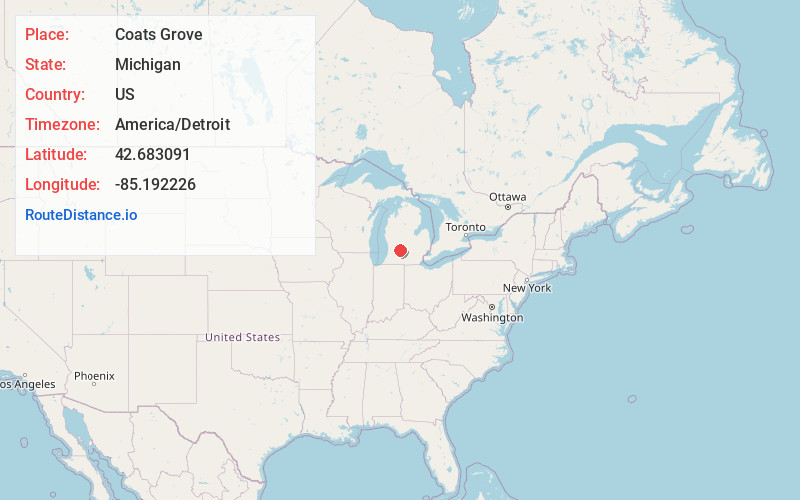
Full AddressCoats Grove, Castleton Township, MI 49058
-
Coordinates42.6830906, -85.1922259
-
LocationCastleton Township , Michigan , US
-
TimezoneAmerica/Detroit
-
Current Local Time1:05:21 AM America/DetroitSaturday, May 31, 2025
-
Page Views0
Nearby Places
Found 10 places within 50 miles

Woodland
4.2 mi
6.8 km
Woodland, MI 48897
Get directions

Morgan
4.3 mi
6.9 km
Morgan, Castleton Township, MI 49073
Get directions

Hastings
5.6 mi
9.0 km
Hastings, MI 49058
Get directions

Nashville
7.5 mi
12.1 km
Nashville, MI 49073
Get directions

Lake Odessa
7.5 mi
12.1 km
Lake Odessa, MI 48849
Get directions
Woodbury
8.1 mi
13.0 km
Woodbury, MI 48849
Get directions
Freeport
8.4 mi
13.5 km
Freeport, MI 49325
Get directions

Vermontville
9.3 mi
15.0 km
Vermontville, MI 49096
Get directions
Maple Grove
9.6 mi
15.4 km
Maple Grove, MI 49073
Get directions
Schultz
10.6 mi
17.1 km
Schultz, MI 49058
Get directions
Location Links
Local Weather
Weather Information
Coming soon!
Location Map
Static map view of Coats Grove, Michigan
Browse Places by Distance
Places within specific distances from Coats Grove
Short Distances
Long Distances
Click any distance to see all places within that range from Coats Grove. Distances shown in miles (1 mile ≈ 1.61 kilometers).