Distance to Cobalt, Idaho

Calculating Your Route
Just a moment while we process your request...
Location Information
-
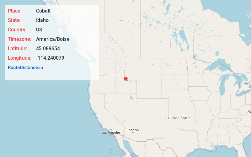
Full AddressCobalt, ID 83469
-
Coordinates45.0896539, -114.2400793
-
LocationCobalt , Idaho , US
-
TimezoneAmerica/Boise
-
Current Local Time5:28:20 AM America/BoiseThursday, June 19, 2025
-
Page Views0
About Cobalt
Cobalt is an unincorporated community in Lemhi County, in the central part of the U.S. state of Idaho. Cobalt is located at 45°05′35″N 114°13′54″W at an elevation of 5046 feet.
Cobalt's population was estimated at 250 in 1960.
Nearby Places
Found 8 places within 50 miles

Leesburg
11.1 mi
17.9 km
Leesburg, ID 83469
Get directions
Yellowjacket Mine
15.4 mi
24.8 km
Yellowjacket Mine, Idaho 83226
Get directions

Salmon
17.8 mi
28.6 km
Salmon, ID 83467
Get directions
Ellis
29.0 mi
46.7 km
Ellis, ID 83235
Get directions
Mine Creek
33.1 mi
53.3 km
Mine Creek, Montana 59829
Get directions

May
37.2 mi
59.9 km
May, ID 83253
Get directions

Challis
40.4 mi
65.0 km
Challis, ID 83226
Get directions
Patterson
46.9 mi
75.5 km
Patterson, ID 83253
Get directions
Location Links
Local Weather
Weather Information
Coming soon!
Location Map
Static map view of Cobalt, Idaho
Browse Places by Distance
Places within specific distances from Cobalt
Short Distances
Long Distances
Click any distance to see all places within that range from Cobalt. Distances shown in miles (1 mile ≈ 1.61 kilometers).