Distance to Cobden, Illinois

Calculating Your Route
Just a moment while we process your request...
Location Information
-
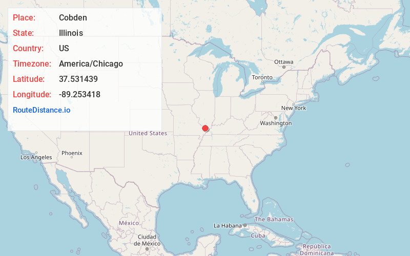
Full AddressCobden, IL 62920
-
Coordinates37.5314386, -89.253418
-
LocationCobden , Illinois , US
-
TimezoneAmerica/Chicago
-
Current Local Time1:43:29 AM America/ChicagoSunday, June 22, 2025
-
Page Views0
About Cobden
Cobden is a village in Union County, Illinois, United States, within the Southern Illinois region informally known as "Little Egypt.” The population estimate as of 2023 is 1,023, a decline of over 10% since the 2010 census.


Nearby Places
Found 10 places within 50 miles

Anna
4.9 mi
7.9 km
Anna, IL 62906
Get directions

Jonesboro
5.5 mi
8.9 km
Jonesboro, IL
Get directions

Carbondale
13.7 mi
22.0 km
Carbondale, IL
Get directions

Goreville
15.5 mi
24.9 km
Goreville, IL
Get directions

Murphysboro
16.7 mi
26.9 km
Murphysboro, IL 62966
Get directions

Crainville
18.3 mi
29.5 km
Crainville, IL 62918
Get directions

Carterville
18.5 mi
29.8 km
Carterville, IL 62918
Get directions

Cambria
18.8 mi
30.3 km
Cambria, IL
Get directions

De Soto
19.8 mi
31.9 km
De Soto, IL 62924
Get directions

Energy
20.9 mi
33.6 km
Energy, IL
Get directions
Location Links
Local Weather
Weather Information
Coming soon!
Location Map
Static map view of Cobden, Illinois
Browse Places by Distance
Places within specific distances from Cobden
Short Distances
Long Distances
Click any distance to see all places within that range from Cobden. Distances shown in miles (1 mile ≈ 1.61 kilometers).