Distance to Coburg, Kentucky

Calculating Your Route
Just a moment while we process your request...
Location Information
-
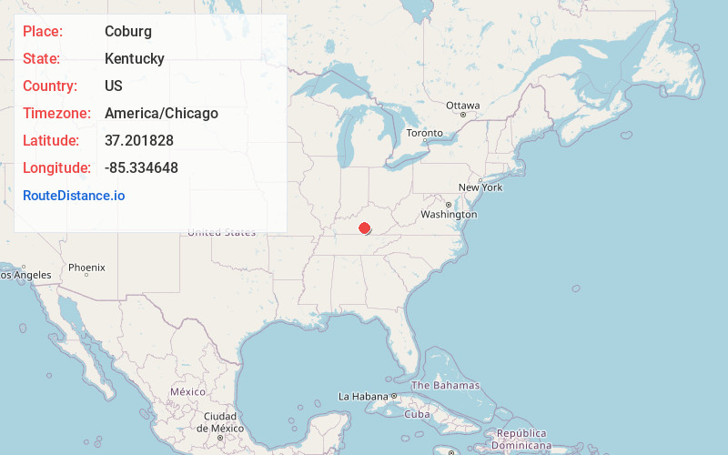
Full AddressCoburg, KY 42728
-
Coordinates37.201828, -85.334648
-
LocationCoburg , Kentucky , US
-
TimezoneAmerica/Chicago
-
Current Local Time2:38:53 PM America/ChicagoTuesday, June 24, 2025
-
Page Views0
About Coburg
Coburg is an unincorporated community in Adair County, Kentucky, United States. Its elevation is 741 feet.
Nearby Places
Found 10 places within 50 miles

Kellyville
0.6 mi
1.0 km
Kellyville, KY 42728
Get directions

Cane Valley
1.7 mi
2.7 km
Cane Valley, KY 42728
Get directions
Romine
2.5 mi
4.0 km
Romine, KY 42718
Get directions
Mt Gilead
3.4 mi
5.5 km
Mt Gilead, KY 42743
Get directions
Absher
4.8 mi
7.7 km
Absher, KY 42728
Get directions
Burdick
5.5 mi
8.9 km
Burdick, KY 42718
Get directions
Gresham
6.4 mi
10.3 km
Gresham, KY 42743
Get directions
Milltown
6.8 mi
10.9 km
Milltown, KY 42743
Get directions

Columbia
7.0 mi
11.3 km
Columbia, KY 42728
Get directions
Yuma
7.5 mi
12.1 km
Yuma, KY 42733
Get directions
Location Links
Local Weather
Weather Information
Coming soon!
Location Map
Static map view of Coburg, Kentucky
Browse Places by Distance
Places within specific distances from Coburg
Short Distances
Long Distances
Click any distance to see all places within that range from Coburg. Distances shown in miles (1 mile ≈ 1.61 kilometers).