Distance to Cohens Bluff Landing, South Carolina

Calculating Your Route
Just a moment while we process your request...
Location Information
-
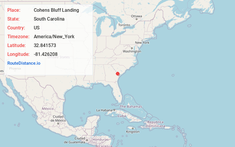
Full AddressCohens Bluff Landing, SC 29810
-
Coordinates32.8415732, -81.426208
-
LocationCohens Bluff Landing , South Carolina , US
-
TimezoneAmerica/New_York
-
Current Local Time5:14:52 AM America/New_YorkSunday, June 22, 2025
-
Page Views0
Nearby Places
Found 10 places within 50 miles

Brier Creek Landing
4.1 mi
6.6 km
Brier Creek Landing, GA 30467
Get directions
Milbury
5.7 mi
9.2 km
Milbury, SC 29810
Get directions
Solomons Crossroads
6.8 mi
10.9 km
Solomons Crossroads, SC 29932
Get directions

Burtons Ferry Landing
8.0 mi
12.9 km
Burtons Ferry Landing, GA 30467
Get directions
Rouse
9.3 mi
15.0 km
Rouse, SC 29932
Get directions
Barton
9.8 mi
15.8 km
Barton, SC 29827
Get directions
Valentine
9.9 mi
15.9 km
Valentine, SC 29932
Get directions
Concord Crossroads
10.4 mi
16.7 km
Concord Crossroads, SC 29836
Get directions
Lawtonville Crossroads
10.9 mi
17.5 km
Lawtonville Crossroads, SC 29918
Get directions
Woods Crossroads
10.9 mi
17.5 km
Woods Crossroads, SC 29810
Get directions
Location Links
Local Weather
Weather Information
Coming soon!
Location Map
Static map view of Cohens Bluff Landing, South Carolina
Browse Places by Distance
Places within specific distances from Cohens Bluff Landing
Short Distances
Long Distances
Click any distance to see all places within that range from Cohens Bluff Landing. Distances shown in miles (1 mile ≈ 1.61 kilometers).