Distance to Cohoctah Township, Michigan

Calculating Your Route
Just a moment while we process your request...
Location Information
-
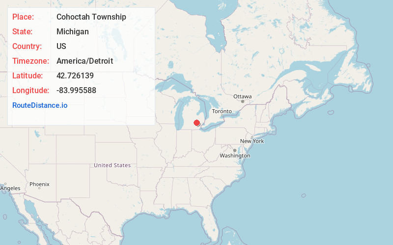
Full AddressCohoctah Township, MI
-
Coordinates42.7261394, -83.9955879
-
LocationCohoctah Township , Michigan , US
-
TimezoneAmerica/Detroit
-
Current Local Time12:22:19 PM America/DetroitSunday, June 1, 2025
-
Page Views0
About Cohoctah Township
Cohoctah Township is a civil township of Livingston County in the U.S. state of Michigan. The population was 3,246 at the 2020 census. It is located in the northwest quadrant of the county, bordered by Conway Township to the west, Deerfield Township to the east, and Howell Township to the south.
Nearby Places
Found 10 places within 50 miles

Cohoctah Center
2.0 mi
3.2 km
Cohoctah Center, Cohoctah Township, MI 48855
Get directions
Cohoctah
3.3 mi
5.3 km
Cohoctah, MI 48855
Get directions
Oak Grove
3.7 mi
6.0 km
Oak Grove, MI 48855
Get directions
Fleming
5.8 mi
9.3 km
Fleming, Howell Township, MI 48855
Get directions

Fowlerville
6.0 mi
9.7 km
Fowlerville, MI 48836
Get directions
Burns Township
6.7 mi
10.8 km
Burns Township, MI
Get directions

Byron
7.2 mi
11.6 km
Byron, MI 48418
Get directions
Union Plains
7.2 mi
11.6 km
Union Plains, Burns Township, MI 48418
Get directions
Nicholson
7.4 mi
11.9 km
Nicholson, Conway Township, MI 48872
Get directions
Antrim Center
8.5 mi
13.7 km
Antrim Center, MI 48857
Get directions
Location Links
Local Weather
Weather Information
Coming soon!
Location Map
Static map view of Cohoctah Township, Michigan
Browse Places by Distance
Places within specific distances from Cohoctah Township
Short Distances
Long Distances
Click any distance to see all places within that range from Cohoctah Township. Distances shown in miles (1 mile ≈ 1.61 kilometers).