Distance to Coketown, West Virginia

Calculating Your Route
Just a moment while we process your request...
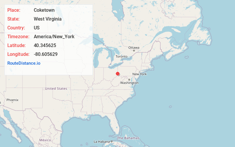
Location Information
-
Full AddressCoketown, Follansbee, WV 26037
-
Coordinates40.3456245, -80.6056291
-
LocationFollansbee , West Virginia , US
-
TimezoneAmerica/New_York
-
Current Local Time7:12:02 AM America/New_YorkWednesday, June 18, 2025
-
Page Views0
About Coketown
Coketown is an unincorporated community on the Ohio River in Brooke County, West Virginia, United States. Coketown lies north of Follansbee along West Virginia State Route 2.
Nearby Places
Found 10 places within 50 miles

Follansbee
1.3 mi
2.1 km
Follansbee, WV 26037
Get directions

Mingo Junction
1.7 mi
2.7 km
Mingo Junction, OH
Get directions
Hooverson Heights
2.1 mi
3.4 km
Hooverson Heights, WV
Get directions

Steubenville
2.2 mi
3.5 km
Steubenville, OH
Get directions
Louise
3.6 mi
5.8 km
Louise, WV 26070
Get directions
Colliers
3.8 mi
6.1 km
Colliers, WV 26035
Get directions
Valley Glen
4.9 mi
7.9 km
Valley Glen, Cross Creek Township, OH 43938
Get directions

Wellsburg
5.1 mi
8.2 km
Wellsburg, WV 26070
Get directions

Weirton
5.1 mi
8.2 km
Weirton, WV 26062
Get directions
Overlook Hills
5.3 mi
8.5 km
Overlook Hills, Island Creek Township, OH 43953
Get directions
Location Links
Local Weather
Weather Information
Coming soon!
Location Map
Static map view of Coketown, West Virginia
Browse Places by Distance
Places within specific distances from Coketown
Short Distances
Long Distances
Click any distance to see all places within that range from Coketown. Distances shown in miles (1 mile ≈ 1.61 kilometers).