Distance to Cold Springs, Tennessee

Calculating Your Route
Just a moment while we process your request...
Location Information
-
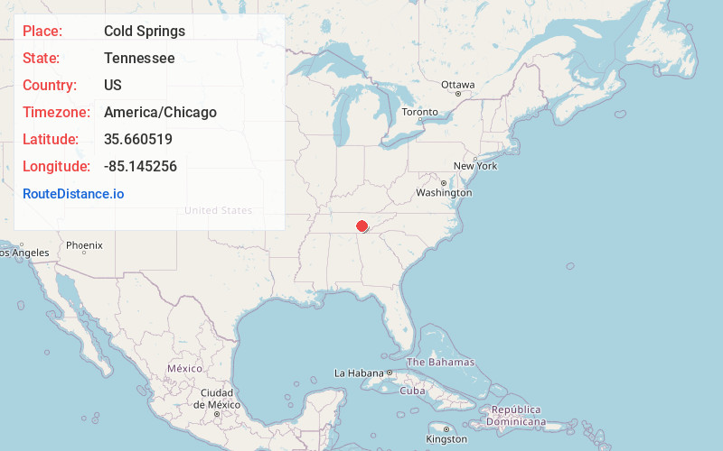
Full AddressCold Springs, TN 37367
-
Coordinates35.660519, -85.145256
-
LocationCold Springs , Tennessee , US
-
TimezoneAmerica/Chicago
-
Current Local Time8:23:27 PM America/ChicagoThursday, June 5, 2025
-
Page Views0
About Cold Springs
Cold Spring is an unincorporated community in Bledsoe County, Tennessee. It lies along U.S. Route 127 northeast of the city of Pikeville, the county seat of Bledsoe County. Its elevation is 876 feet.
Nearby Places
Found 10 places within 50 miles

Pikeville
4.5 mi
7.2 km
Pikeville, TN 37367
Get directions

Paine Spring
9.7 mi
15.6 km
Paine Spring, TN 37332
Get directions
Laurel Brook
11.6 mi
18.7 km
Laurel Brook, TN 37321
Get directions
Cranmore Cove
12.2 mi
19.6 km
Cranmore Cove, TN 37321
Get directions
Mooneyham
12.3 mi
19.8 km
Mooneyham, TN 38585
Get directions

Dayton
13.7 mi
22.0 km
Dayton, TN
Get directions
Pennine
14.1 mi
22.7 km
Pennine, TN 37381
Get directions
Graysville
15.1 mi
24.3 km
Graysville, TN
Get directions

Lake Tansi
15.5 mi
24.9 km
Lake Tansi, TN 38572
Get directions

Spring City
16.1 mi
25.9 km
Spring City, TN 37381
Get directions
Location Links
Local Weather
Weather Information
Coming soon!
Location Map
Static map view of Cold Springs, Tennessee
Browse Places by Distance
Places within specific distances from Cold Springs
Short Distances
Long Distances
Click any distance to see all places within that range from Cold Springs. Distances shown in miles (1 mile ≈ 1.61 kilometers).