Distance to Cold Springs, Oregon

Calculating Your Route
Just a moment while we process your request...
Location Information
-
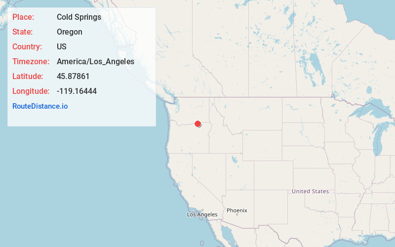
Full AddressCold Springs, OR 97838
-
Coordinates45.87861, -119.16444
-
LocationCold Springs , Oregon , US
-
TimezoneAmerica/Los_Angeles
-
Current Local Time1:15:13 AM America/Los_AngelesSaturday, June 7, 2025
-
Page Views0
About Cold Springs
Cold Springs is an unincorporated community in Umatilla County, Oregon, United States, south of the Columbia River in the Hermiston area. Cold Springs Junction is a populated place and highway junction about 4 miles northeast of Cold Springs at the junction of Oregon Route 37 and U.S. Route 730.

Nearby Places
Found 10 places within 50 miles

Hermiston
6.6 mi
10.6 km
Hermiston, OR
Get directions

Stanfield
7.2 mi
11.6 km
Stanfield, OR
Get directions

Umatilla
9.0 mi
14.5 km
Umatilla, OR
Get directions

Echo
9.5 mi
15.3 km
Echo, OR 97826
Get directions

Irrigon
15.9 mi
25.6 km
Irrigon, OR 97844
Get directions

Highland
17.6 mi
28.3 km
Highland, WA 99337
Get directions

Wallula
18.9 mi
30.4 km
Wallula, WA
Get directions

Finley
20.0 mi
32.2 km
Finley, WA 99337
Get directions

Kennewick
22.9 mi
36.9 km
Kennewick, WA
Get directions

Pendleton
23.1 mi
37.2 km
Pendleton, OR 97801
Get directions
Location Links
Local Weather
Weather Information
Coming soon!
Location Map
Static map view of Cold Springs, Oregon
Browse Places by Distance
Places within specific distances from Cold Springs
Short Distances
Long Distances
Click any distance to see all places within that range from Cold Springs. Distances shown in miles (1 mile ≈ 1.61 kilometers).