Distance to Coleman, Arkansas

Calculating Your Route
Just a moment while we process your request...
Location Information
-
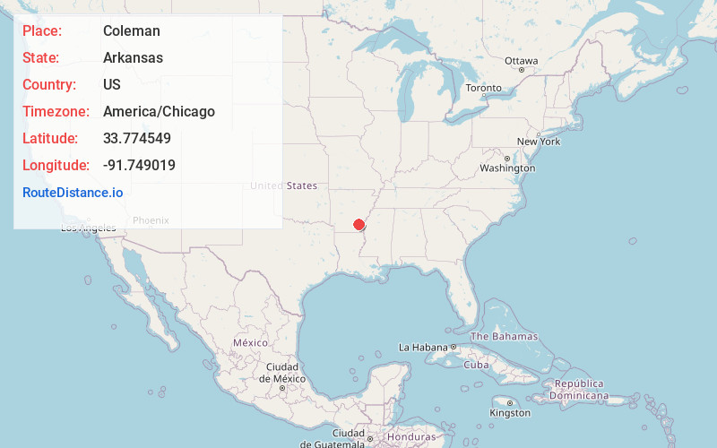
Full AddressColeman, AR 71655
-
Coordinates33.7745494, -91.749019
-
LocationArkansas , US
-
TimezoneAmerica/Chicago
-
Current Local Time9:36:45 PM America/ChicagoWednesday, June 18, 2025
-
Page Views0
About Coleman
Coleman is an unincorporated community in Drew County, Arkansas, United States. Coleman is located at the junction of Arkansas Highway 83 and Arkansas Highway 277, 10.3 miles north-northeast of Monticello. The Look See Tree, a lookout tree listed on the National Register of Historic Places, is located in Coleman.
Nearby Places
Found 10 places within 50 miles

Tyro
4.5 mi
7.2 km
Tyro, AR 71639
Get directions
Little Garnett
6.9 mi
11.1 km
Little Garnett, AR 71667
Get directions
Rock Springs
9.2 mi
14.8 km
Rock Springs, AR 71675
Get directions
Gourd
10.0 mi
16.1 km
Gourd, AR 71639
Get directions

Monticello
10.5 mi
16.9 km
Monticello, AR 71655
Get directions
Star City
12.8 mi
20.6 km
Star City, AR 71667
Get directions
Rye
14.4 mi
23.2 km
Rye, AR
Get directions
Wilmar
14.4 mi
23.2 km
Wilmar, AR 71675
Get directions
Yukon
15.6 mi
25.1 km
Yukon, AR 71677
Get directions
Winchester
15.6 mi
25.1 km
Winchester, AR
Get directions
Location Links
Local Weather
Weather Information
Coming soon!
Location Map
Static map view of Coleman, Arkansas
Browse Places by Distance
Places within specific distances from Coleman
Short Distances
Long Distances
Click any distance to see all places within that range from Coleman. Distances shown in miles (1 mile ≈ 1.61 kilometers).