Distance to Coleraine, Minnesota

Calculating Your Route
Just a moment while we process your request...
Location Information
-
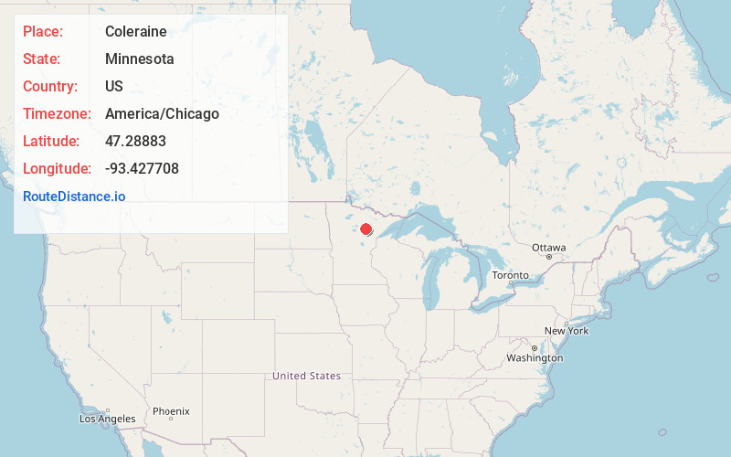
Full AddressColeraine, MN
-
Coordinates47.2888298, -93.427708
-
LocationColeraine , Minnesota , US
-
TimezoneAmerica/Chicago
-
Current Local Time3:19:03 AM America/ChicagoFriday, June 6, 2025
-
Website
-
Page Views0
About Coleraine
Coleraine is a city in Itasca County, Minnesota, United States, near Grand Rapids. The population was 2,006 at the 2020 census. The community was named after Thomas F. Cole, President of the Oliver Iron Mining Company.
U.S. Highway 169 serves as a main route in Coleraine.

Nearby Places
Found 7 places within 50 miles

Grand Rapids
5.9 mi
9.5 km
Grand Rapids, MN 55744
Get directions

Cohasset
9.3 mi
15.0 km
Cohasset, MN
Get directions

Hibbing
24.8 mi
39.9 km
Hibbing, MN
Get directions

Chisholm
29.0 mi
46.7 km
Chisholm, MN 55719
Get directions

Mountain Iron
41.2 mi
66.3 km
Mountain Iron, MN
Get directions

Eveleth
43.2 mi
69.5 km
Eveleth, MN 55734
Get directions

Virginia
44.7 mi
71.9 km
Virginia, MN
Get directions
Location Links
Local Weather
Weather Information
Coming soon!
Location Map
Static map view of Coleraine, Minnesota
Browse Places by Distance
Places within specific distances from Coleraine
Short Distances
Long Distances
Click any distance to see all places within that range from Coleraine. Distances shown in miles (1 mile ≈ 1.61 kilometers).