Distance to Coles Corner, Washington

Calculating Your Route
Just a moment while we process your request...
Location Information
-
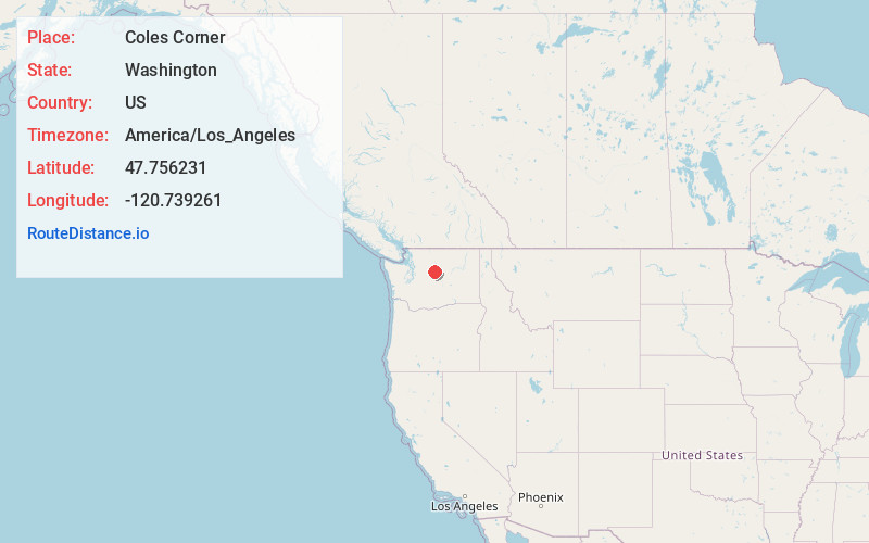
Full AddressColes Corner, WA 98826
-
Coordinates47.7562313, -120.7392607
-
LocationColes Corner , Washington , US
-
TimezoneAmerica/Los_Angeles
-
Current Local Time5:25:15 AM America/Los_AngelesSaturday, June 7, 2025
-
Page Views0
About Coles Corner
Coles Corner is a small unincorporated community in Chelan County, Washington, United States. It is located on Highway 2 east of Stevens Pass in the Cascade Mountains, at the junction for SR 207. It is just north of the town of Winton.

Nearby Places
Found 10 places within 50 miles

Winton
1.4 mi
2.3 km
Winton, WA 98826
Get directions

Nason Creek
2.7 mi
4.3 km
Nason Creek, WA 98826
Get directions

Plain
3.9 mi
6.3 km
Plain, WA 98826
Get directions

Chiwaukum
4.6 mi
7.4 km
Chiwaukum, WA 98826
Get directions

Chumstick
6.6 mi
10.6 km
Chumstick, WA 98826
Get directions

Telma
7.0 mi
11.3 km
Telma, WA 98826
Get directions

Berne
11.3 mi
18.2 km
Berne, WA 98826
Get directions

Leavenworth
11.6 mi
18.7 km
Leavenworth, WA 98826
Get directions

Peshastin
14.3 mi
23.0 km
Peshastin, WA 98847
Get directions

Dryden
17.0 mi
27.4 km
Dryden, WA 98821
Get directions
Location Links
Local Weather
Weather Information
Coming soon!
Location Map
Static map view of Coles Corner, Washington
Browse Places by Distance
Places within specific distances from Coles Corner
Short Distances
Long Distances
Click any distance to see all places within that range from Coles Corner. Distances shown in miles (1 mile ≈ 1.61 kilometers).