Distance to Colesville, Pennsylvania

Calculating Your Route
Just a moment while we process your request...
Location Information
-
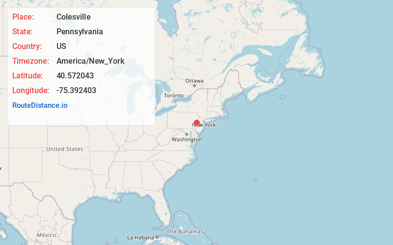
Full AddressColesville, Upper Saucon Township, PA 18034
-
Coordinates40.5720432, -75.3924028
-
LocationUpper Saucon Township , Pennsylvania , US
-
TimezoneAmerica/New_York
-
Current Local Time6:36:39 AM America/New_YorkWednesday, June 18, 2025
-
Page Views0
About Colesville
Colesville is a suburban village located on Route 378 in Upper Saucon Township in Lehigh County and Lower Saucon Township in Northampton County, Pennsylvania. Colesville is part of the Lehigh Valley, which had a population of 861,899 and was the 68th-most populous metropolitan area in the U.S. as of the 2020 census.
Nearby Places
Found 10 places within 50 miles

Wydnor
0.7 mi
1.1 km
Wydnor, PA 18015
Get directions

Fountain Hill
2.0 mi
3.2 km
Fountain Hill, PA 18015
Get directions

Upper Saucon Township
2.2 mi
3.5 km
Upper Saucon Township, PA
Get directions

Hellertown
2.8 mi
4.5 km
Hellertown, PA
Get directions
Waldheim Park
3.2 mi
5.1 km
Waldheim Park, Allentown, PA 18103
Get directions
Leithsville
3.2 mi
5.1 km
Leithsville, Lower Saucon Township, PA 18055
Get directions

Bethlehem
3.9 mi
6.3 km
Bethlehem, PA
Get directions

Coopersburg
4.2 mi
6.8 km
Coopersburg, PA 18036
Get directions
Kirchberg
4.2 mi
6.8 km
Kirchberg, Lower Saucon Township, PA 18055
Get directions

Freemansburg
4.5 mi
7.2 km
Freemansburg, PA
Get directions
Location Links
Local Weather
Weather Information
Coming soon!
Location Map
Static map view of Colesville, Pennsylvania
Browse Places by Distance
Places within specific distances from Colesville
Short Distances
Long Distances
Click any distance to see all places within that range from Colesville. Distances shown in miles (1 mile ≈ 1.61 kilometers).