Distance to College Meadows, Indiana

Calculating Your Route
Just a moment while we process your request...
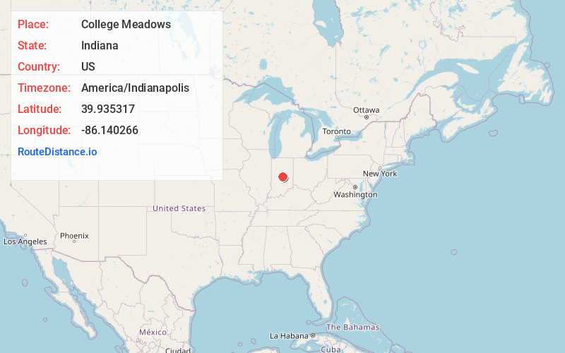
Location Information
-
Full AddressCollege Meadows, Carmel, IN 46280
-
Coordinates39.9353168, -86.140266
-
LocationCarmel , Indiana , US
-
TimezoneAmerica/Indianapolis
-
Page Views0
Nearby Places
Found 10 places within 50 miles

Orchard Park
0.6 mi
1.0 km
Orchard Park, Carmel, IN 46280
Get directions

Carmel
3.2 mi
5.1 km
Carmel, IN
Get directions

Fishers
6.7 mi
10.8 km
Fishers, IN
Get directions

Zionsville
7.4 mi
11.9 km
Zionsville, IN
Get directions

Westfield
7.5 mi
12.1 km
Westfield, IN
Get directions
Eagletown
7.9 mi
12.7 km
Eagletown, Westfield, IN 46074
Get directions

Lawrence
9.0 mi
14.5 km
Lawrence, IN
Get directions

Noblesville
10.3 mi
16.6 km
Noblesville, IN
Get directions
Hortonville
10.5 mi
16.9 km
Hortonville, IN 46069
Get directions
Lamong
10.9 mi
17.5 km
Lamong, Westfield Washington Township, IN 46069
Get directions
Location Links
Local Weather
Weather Information
Coming soon!
Location Map
Static map view of College Meadows, Indiana
Browse Places by Distance
Places within specific distances from College Meadows
Short Distances
Long Distances
Click any distance to see all places within that range from College Meadows. Distances shown in miles (1 mile ≈ 1.61 kilometers).