Distance to College Point, New York

Calculating Your Route
Just a moment while we process your request...
Location Information
-
Full AddressCollege Point, Queens, NY
-
Coordinates40.786395, -73.8389657
-
NeighborhoodCollege Point
-
LocationQueens , New York , US
-
TimezoneAmerica/New_York
-
Current Local Time5:55:55 PM America/New_YorkSaturday, May 31, 2025
-
Page Views0
About College Point
College Point is a working-middle-class neighborhood in the New York City borough of Queens. It is bounded to the south by Whitestone Expressway and Flushing; to the east by 138th Street and Malba/Whitestone; to the north by the East River; and to the west by Flushing Bay.


Nearby Places
Found 10 places within 50 miles

East River
3.3 mi
5.3 km
East River, New York, NY
Get directions

Bronx
4.3 mi
6.9 km
Bronx, NY
Get directions

Queens
4.6 mi
7.4 km
Queens, NY
Get directions

Saddle Rock
4.8 mi
7.7 km
Saddle Rock, NY
Get directions

Harbor Hills
4.8 mi
7.7 km
Harbor Hills, NY
Get directions
Saddle Rock Estates
5.1 mi
8.2 km
Saddle Rock Estates, NY
Get directions

Great Neck Estates
5.3 mi
8.5 km
Great Neck Estates, NY
Get directions

Great Neck
5.9 mi
9.5 km
Great Neck, NY
Get directions
Great Neck Plaza
5.9 mi
9.5 km
Great Neck Plaza, NY 11021
Get directions

Kings Point
5.9 mi
9.5 km
Kings Point, NY
Get directions
Location Links
Local Weather
Weather Information
Coming soon!
Location Map
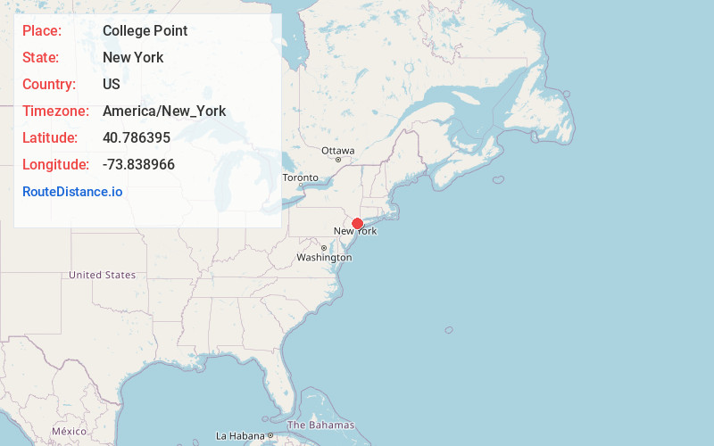
Static map view of College Point, New York
Browse Places by Distance
Places within specific distances from College Point
Short Distances
Long Distances
Click any distance to see all places within that range from College Point. Distances shown in miles (1 mile ≈ 1.61 kilometers).