Distance to Columbia, Connecticut

Calculating Your Route
Just a moment while we process your request...
Location Information
-
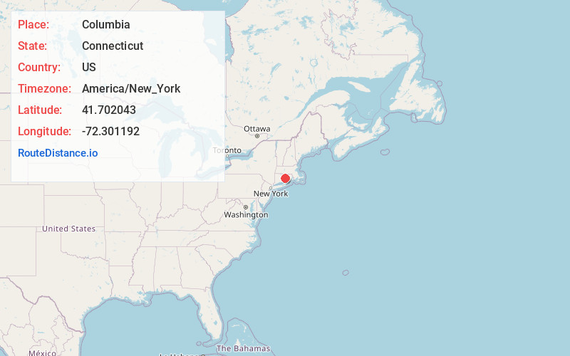
Full AddressColumbia, CT 06237
-
Coordinates41.7020432, -72.3011917
-
LocationColumbia , Connecticut , US
-
TimezoneAmerica/New_York
-
Current Local Time11:07:06 AM America/New_YorkSaturday, June 14, 2025
-
Page Views0
About Columbia
Columbia is a town in Tolland County, Connecticut, United States. The population was 5,272 at the 2020 census. Originally a part of Lebanon, known as the North Society or Lebanon's Crank, Columbia was incorporated in May 1804. The town was named for patriotic reasons after the national symbol "Columbia".

Nearby Places
Found 10 places within 50 miles

Andover
4.3 mi
6.9 km
Andover, CT
Get directions

Hebron
4.5 mi
7.2 km
Hebron, CT
Get directions

Coventry
6.0 mi
9.7 km
Coventry, CT 06238
Get directions

Lebanon
6.4 mi
10.3 km
Lebanon, CT 06249
Get directions

North Coventry
7.6 mi
12.2 km
North Coventry, Coventry, CT 06238
Get directions
Willington Hill
12.1 mi
19.5 km
Willington Hill, Willington, CT 06279
Get directions

Vernon
12.2 mi
19.6 km
Vernon, CT 06066
Get directions

Tolland
12.2 mi
19.6 km
Tolland, CT 06084
Get directions

Manchester
12.5 mi
20.1 km
Manchester, CT
Get directions
Quarryville
12.8 mi
20.6 km
Quarryville, Tolland, CT 06084
Get directions
Location Links
Local Weather
Weather Information
Coming soon!
Location Map
Static map view of Columbia, Connecticut
Browse Places by Distance
Places within specific distances from Columbia
Short Distances
Long Distances
Click any distance to see all places within that range from Columbia. Distances shown in miles (1 mile ≈ 1.61 kilometers).